Behind the cliffs of Karaburun lies a second coastline: caves you reach by boat, on foot, or only with a diving tank.
The caves of Karaburun are more than a dozen recorded caves on the Karaburun Peninsula and Rrëza e Kanalit. Haxhi Ali and Dafina are reached by boat, Duk Gjoni by a marked trail from Bristan Bay, and three underwater caves near Cape Gjuhëz only by divers. All lie in protected areas, a boat ride from Vlorë.
A second coastline inside the rock
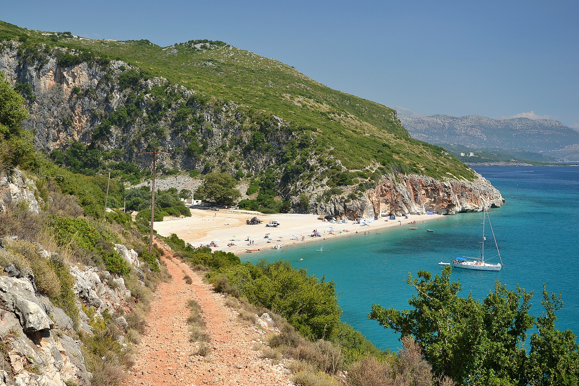
Karaburun is a tongue of limestone about 15 kilometres long that closes the Bay of Vlorë to the south-west. Rain sinks straight into the rock, and with no strip of soft coast in front of it, the water has carved its own ways out, some above the sea and some below it. Winter storms from the west have widened these openings and brought parts of their roofs down.
For decades the peninsula was a military zone, and science arrived late. The first descriptive dives here were made in 2003, 2004 and 2005 by marine biologists of the University of Lecce, in southern Italy, with the Apogon cave-diving group and the University of Vlorë. Along about 4 kilometres of coast around Cape Gjuhëz they found four underwater caves. They also found that within 3 to 5 metres of the surface the sea can drop by more than 10 °C in July, from 26 °C to about 16 °C, which is why fish of deeper, colder water swim here in only 5 metres.
A 2024 survey by the University of Vlorë counts the caves of the peninsula and of Rrëza e Kanalit one by one, and its authors say that more remain to be found. Today the coast is protected by the Karaburun–Sazan Marine Park of 12,427 hectares, Albania’s first marine protected area, declared in 2010, and the land by the 20,000-hectare Karaburun Natural Park.
Sea caves you reach by boat
-
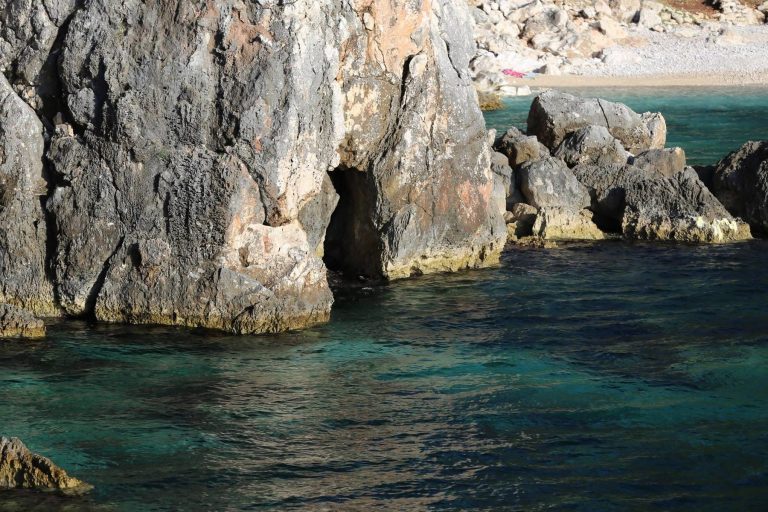
Photo © Fation Plaku -
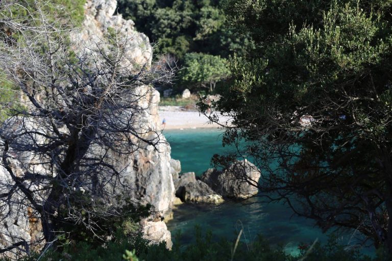
Photo © Fation Plaku -
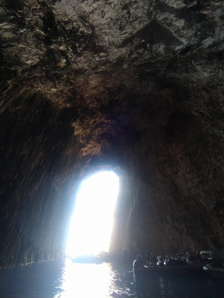
Photo: JonaSali29, CC0, via Wikimedia Commons
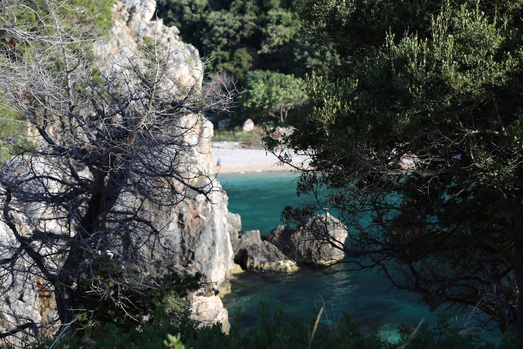
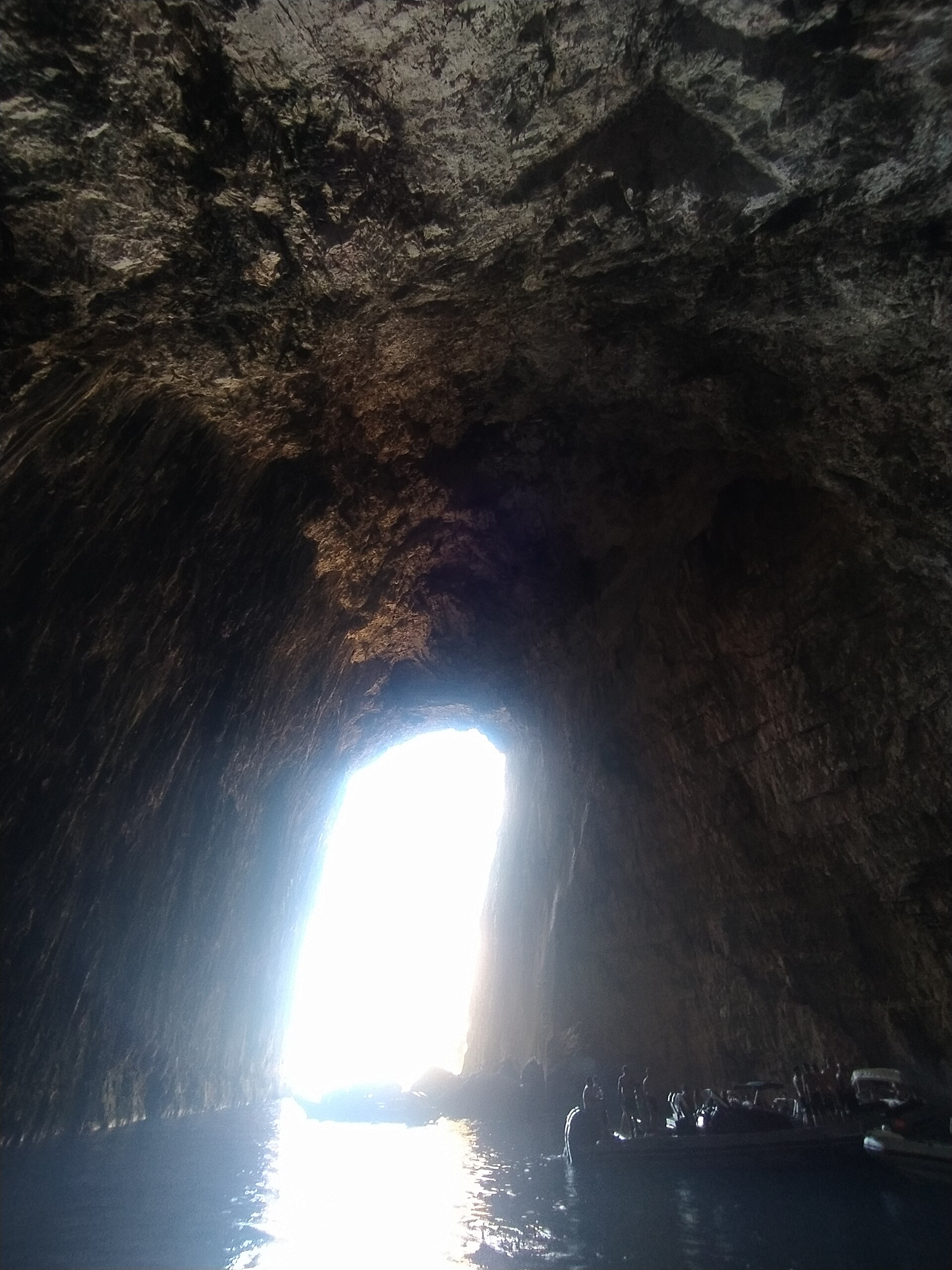
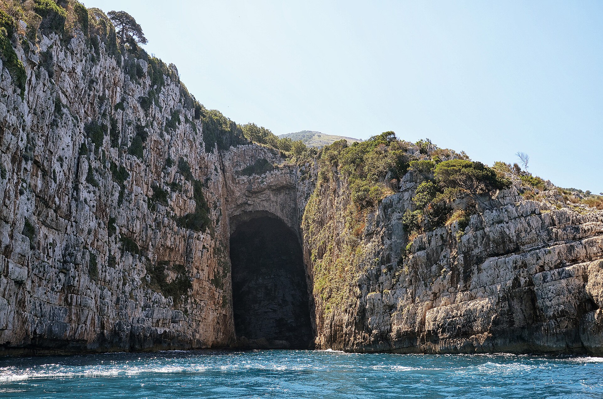
Haxhi Ali Cave
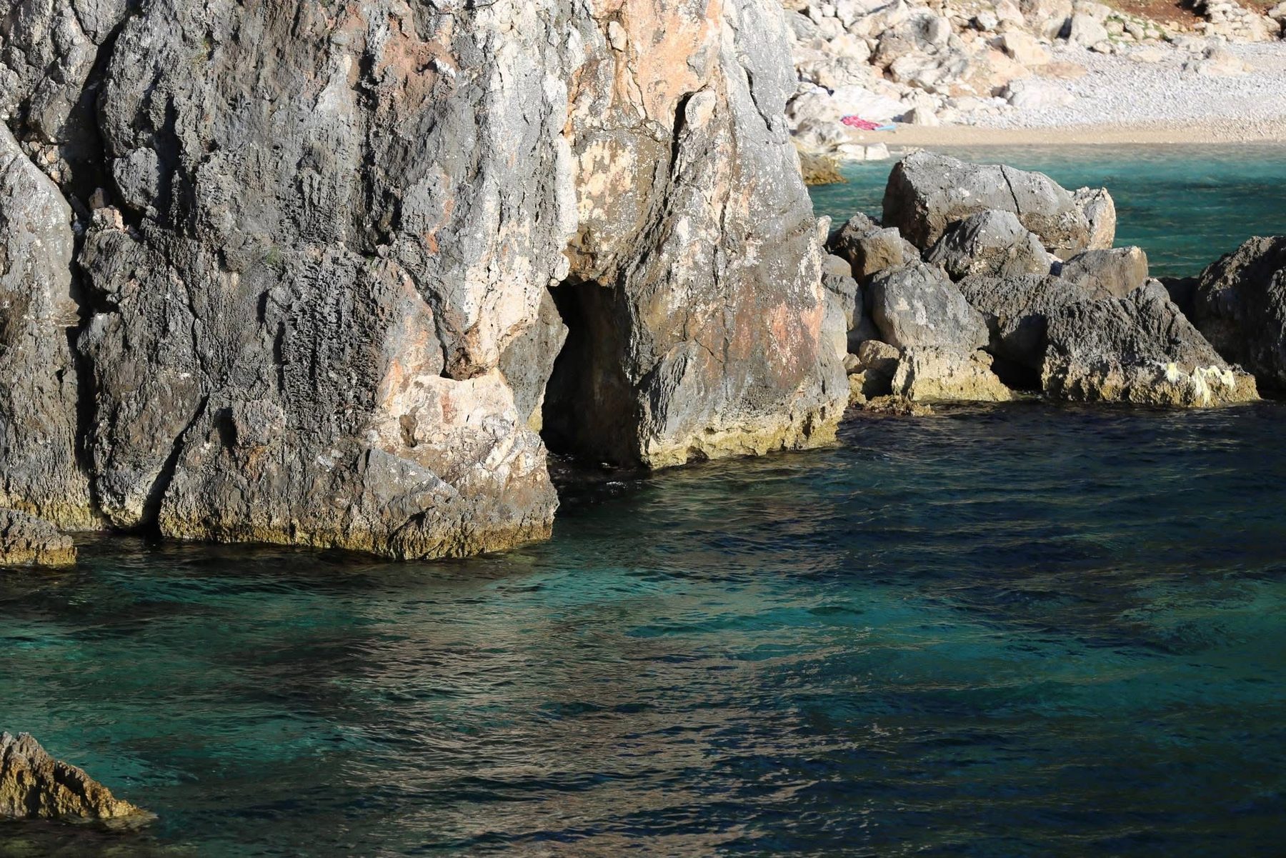
The largest sea cave of the Albanian coast. The 2006 survey gives an entrance about 45 metres high, an underwater sill only 0.8 metres deep that lets in flat-bottomed boats only, and a domed hall about 60 metres long and 40 metres wide, for a known length of about 100 metres. Inside, the water reaches 10.9 metres. GPS 40.4308, 19.3056. Read more in our guide to Haxhi Ali Cave.
Dafina Cave, the Blue Cave of the boat trips
Boat trips today often sell Dafina Cave as the Blue Cave. Also called the Bay Leaf or Laurel Cave, it opens at the back of its own deep bay. You swim about 15 metres to get in: the first part is flooded, then a small sandy beach leads to a very wide, high hall full of fallen blocks. It can also be reached on foot from Old Orikum, past the Marmiroi church and over the Ravena plateau. Mapped entrance: GPS 40.3389, 19.3703.
Nexhajve Cave
At the water’s edge on the western side of Rrëza e Kanalit. It has two entrances, one straight from the sea and one reached by diving a few metres. Past the flooded part, a very wide and high corridor runs about 50 metres into the rock. Its full size is still unknown, and its position is not precisely documented.
The surveyed Blue Cave and the hidden cave of Llovizi
Two caves on the boat route from Vlorë towards Grama, both still unexplored. The 2024 survey lists its own Blue Cave here, separate from Dafina: named after the colour of its water, it starts with a rugged mouth that splits into narrow galleries after a few metres; it is visited by speedboat, and its mapped entrance is at GPS 40.2382, 19.4456. The hidden cave lies among small coves in the bay of Llovizi, with a high gallery and a floor of seawater. Further south, Grama Bay has its own cave and ancient inscriptions.
Caves high on the mountain
Duk Gjoni Cave
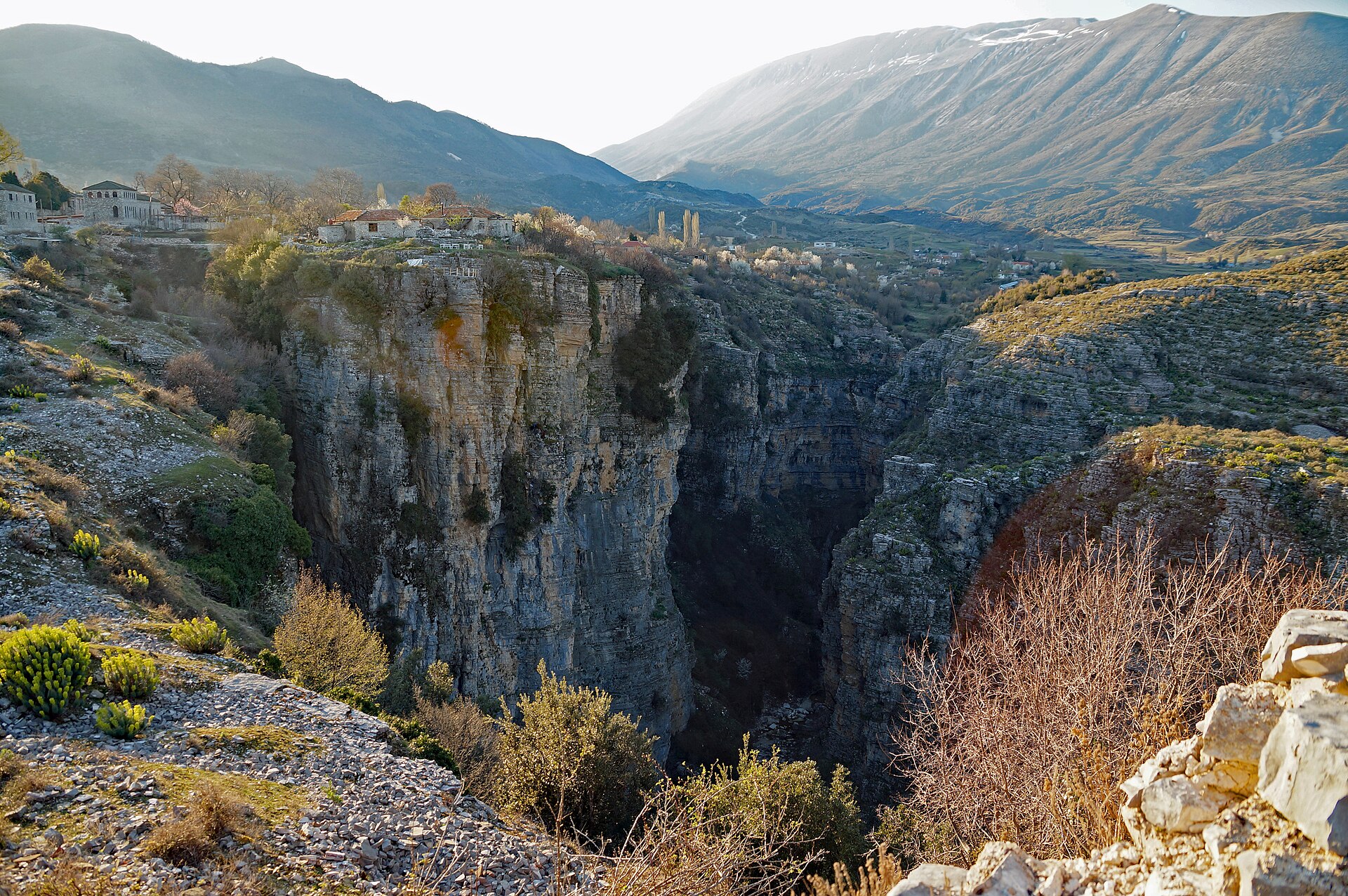
A protected Natural Monument above Bristan Bay, on the western slope of Rrëza e Kanalit, with its own marked trail, opened in May 2017 by PPNEA and the National Agency for Protected Areas. Inside are narrow passages, dome-like chambers, pools of water and concretions of rare beauty; the 2024 survey gives its size as 30 to 40 metres by 20 to 25 metres, and the trail’s opening notice gives a surface of about 600 square metres. A sign on the trail recalls that it was declared a Natural Monument by decision no. 676 of 20 December 2002.
-
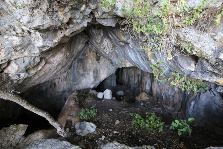
Photo © Fation Plaku -
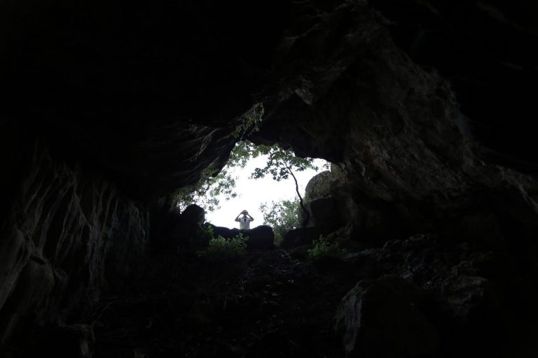
Photo © Fation Plaku -
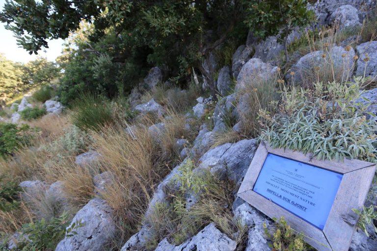
Photo © Fation Plaku
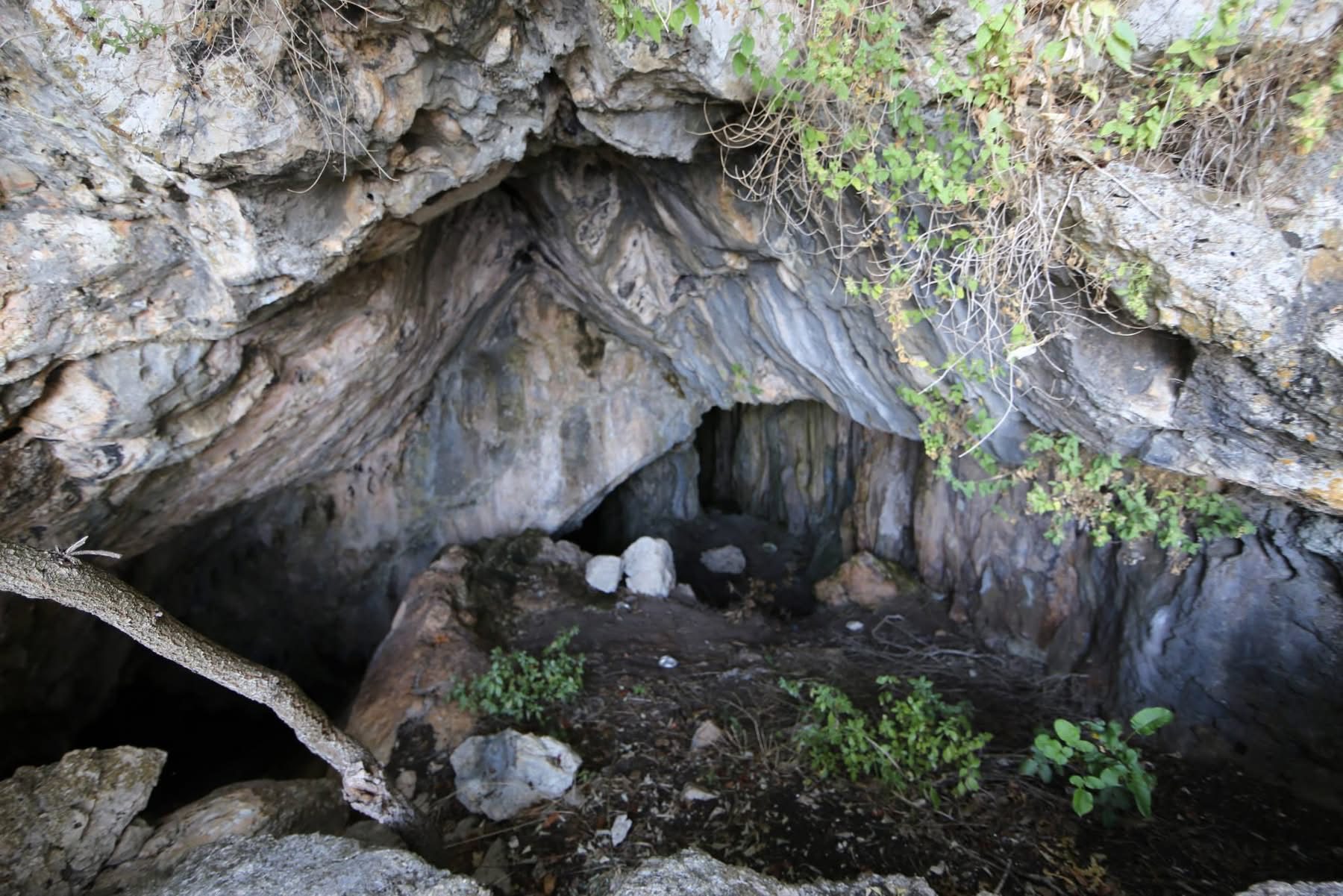
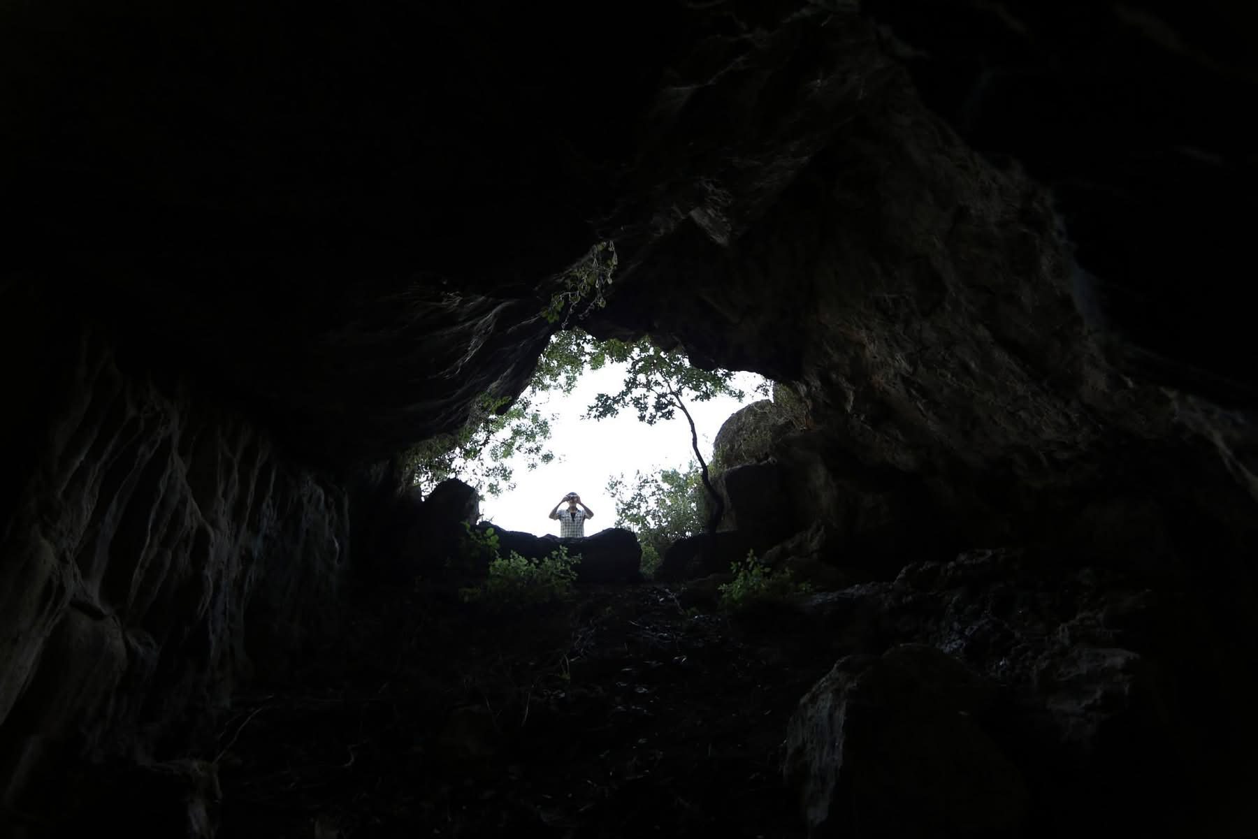
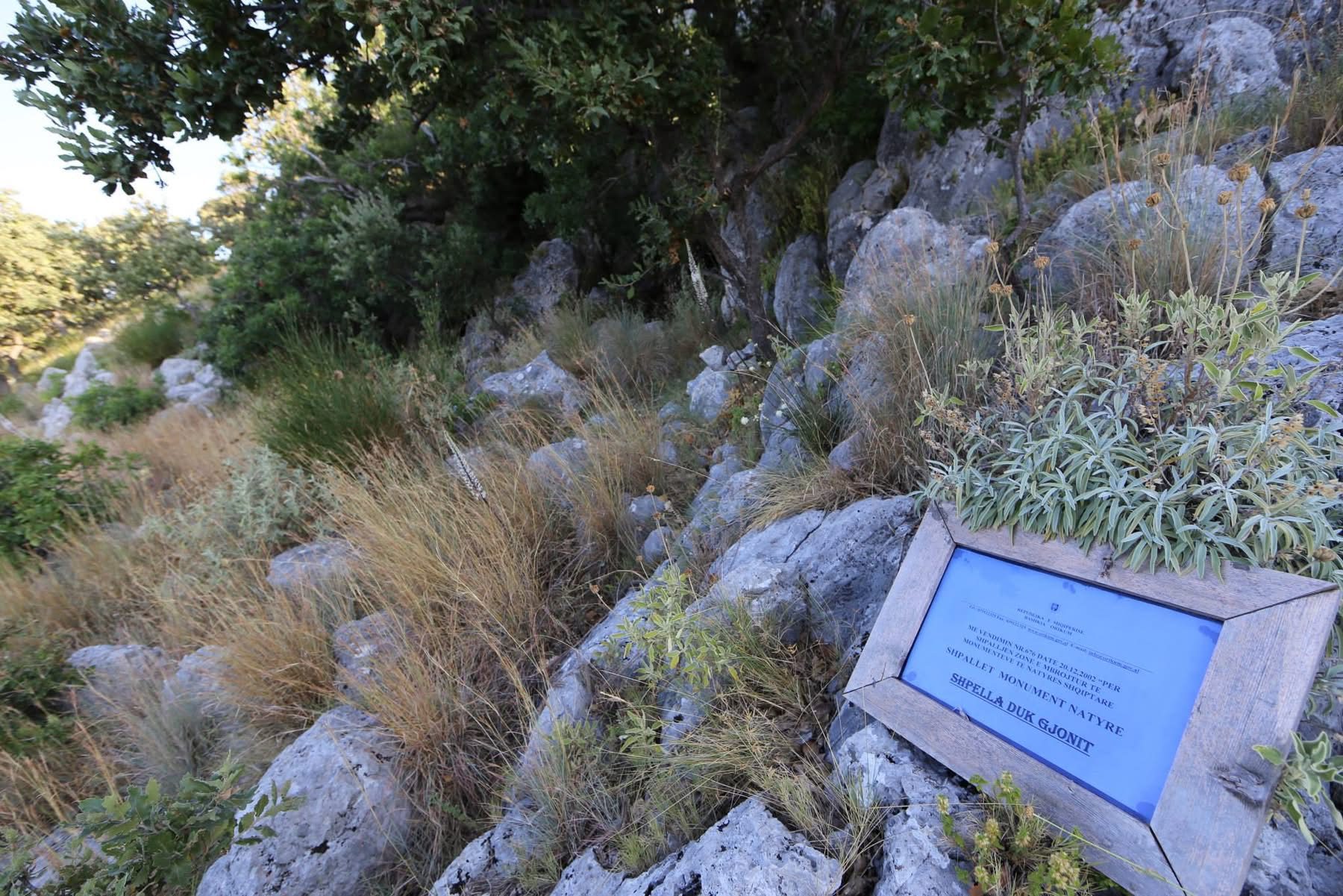
Its height above the sea depends on the source: about 400 metres in the 2024 survey, 122 metres in the trail’s opening notice. The mapped entrance, at GPS 40.2937, 19.3897, lies near 120 metres on the terrain model.
Duk Gjoni is also one of the two main bat caves of the Vlorë area. Biologists of the University of Tirana counted about 300 horseshoe bats here in September 2015 and about 250 Mediterranean horseshoe bats on 30 April 2016, with Schreibers’ bats and Geoffroy’s bats, and owl pellets at the entrance held the skull of a horseshoe bat. They suggest the cave may be a nursery colony, and warn that visitors can disturb it.
Daçëve Cave
On the western slope of Rrëza e Kanalit, near the Petruna pass. The known part is only 15 to 20 metres long, among fallen blocks, but it holds some very beautiful stalactites and stalagmites. The 2024 survey puts it at about 400 metres above the sea; the mapped entrance, at GPS 40.2834, 19.4196, lies higher, near 600 metres on the terrain model. It is reached by sea, or on foot from Old Orikum past the Marmiroi church and the Petruna pass.
-
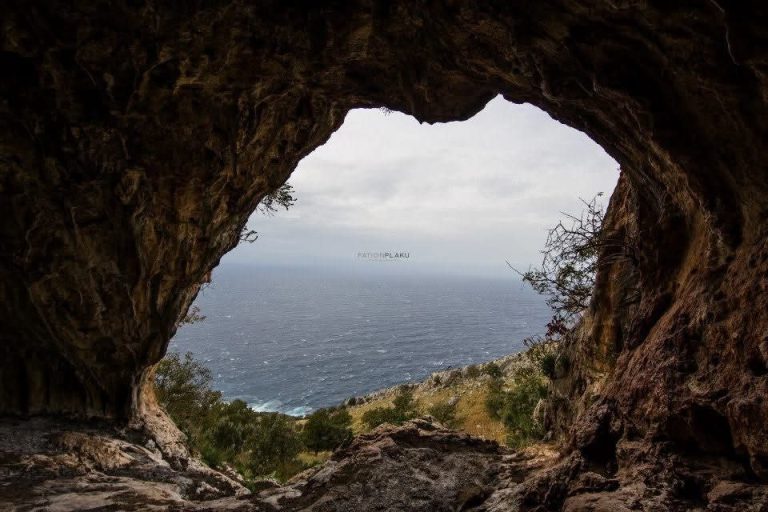
Photo © Fation Plaku -
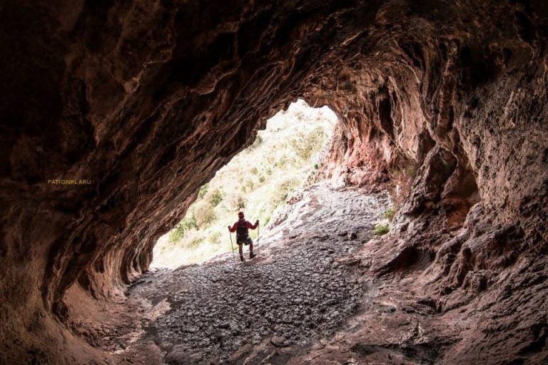
Photo © Fation Plaku -
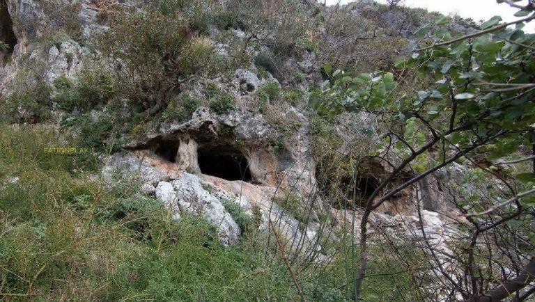
Photo © Fation Plaku
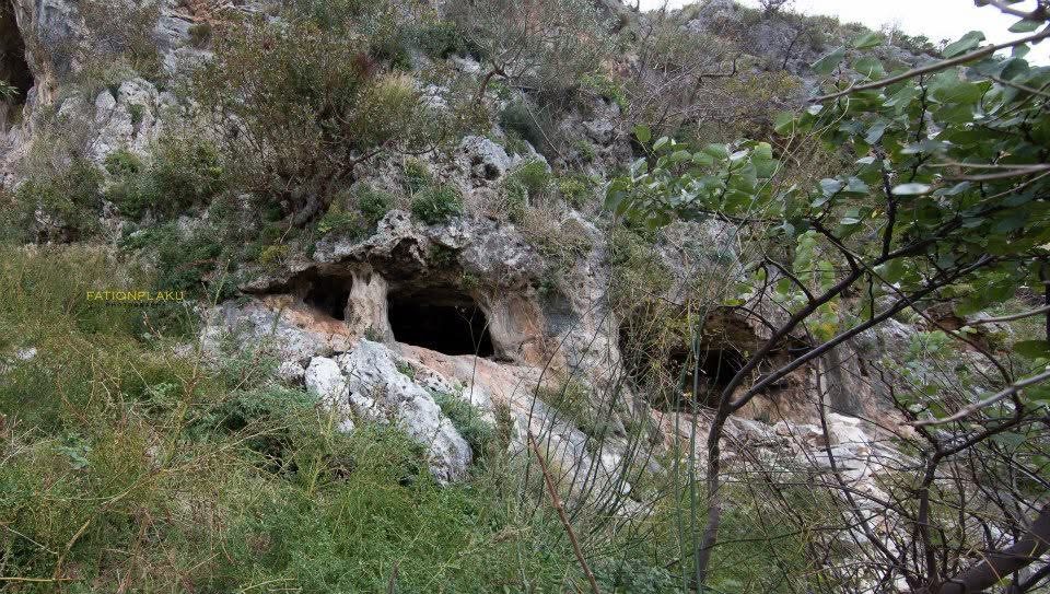
The Englishmen’s Cave
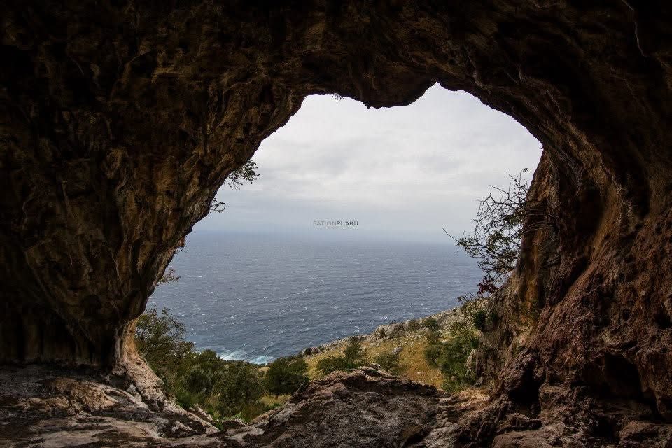
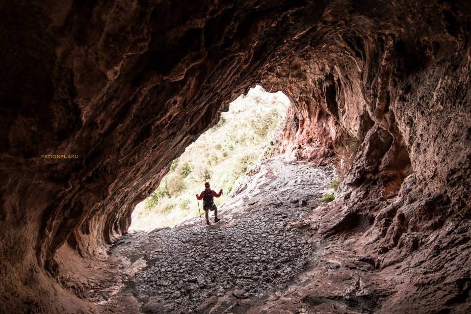
About 100 metres above Ingliz Bay (Englishmen’s Bay, from the local Vlorë word for the English), where the Cows’ Stream reaches the sea. The known part is about 40 metres long, full of stalactites and stalagmites. In the Second World War British special forces, sent from Cairo, kept a naval base here for their missions in Albania; the shepherds of Dukat, who remembered their clothes, food and raincoats, gave the cave its new name. It was once called the cave of Gjon Gjin Leka. Its exact position is not precisely documented.
The Channel Cave
On the eastern slope of the Ravena plateau, near Old Orikum, about 70 to 80 metres above the sea. It is a limestone cave about 60 metres long, 4 to 6 metres wide and high, reached on foot from Vlorë via Old Orikum. Its exact position is not precisely documented.
Underwater caves for divers
The three caves found in 2003 near Cape Gjuhëz are for trained divers with a licensed centre only.
- K1, the first Karaburun cave (GPS 40.4167, 19.2986): a large entrance 6 to 15 metres below the sea opens into a single flooded hall that closes like a wedge about 25 metres in. Its walls carry sponges and corals, and red anthias swim at the entrance.
- K2, the Maja e Hilqes cave (GPS 40.4097, 19.3092): a narrow fissure about 50 metres long under Maja e Hilqes, 731 metres high. Only the entrance is wider, about 3 metres, with its floor 8 metres down.
- K3, the Maja e Hilqes tunnel, beside K2: more than 100 metres in all. It runs 30 metres into the rock, turns at a right angle and continues for 65 metres until it opens again onto the open sea, half submerged, with air pockets and depths of 9 to 13 metres. Here divers found a swarm of narwhal shrimp, never recorded in the caves of the Italian side.
Where each cave is
-
Haxhi Ali Cave
The largest sea cave of the Albanian coast, near Cape Gjuhëz.
-
K1, the first Karaburun cave
An underwater hall for divers, entrance 6 to 15 metres down.
-
K2 and K3, the Maja e Hilqes caves
A narrow fissure and a 100-metre tunnel side by side in one small bay.
-
Dafina Cave
The Blue Cave of the boat trips: a swim in, a sandy beach inside.
-
Duk Gjoni Cave
A Natural Monument above Bristan Bay, with its own marked trail.
-
Daçëve Cave
Stalactites high on Rrëza e Kanalit, near the Petruna pass.
-
The surveyed Blue Cave
Still unexplored, on the boat route towards Grama.
What you’ll see
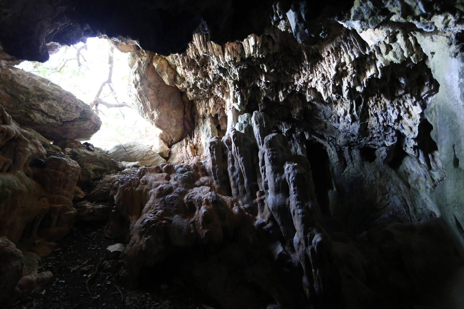
The chambers of Duk Gjoni
Narrow passages, dome-like chambers, pools of water and concretions of rare beauty, above Bristan Bay.
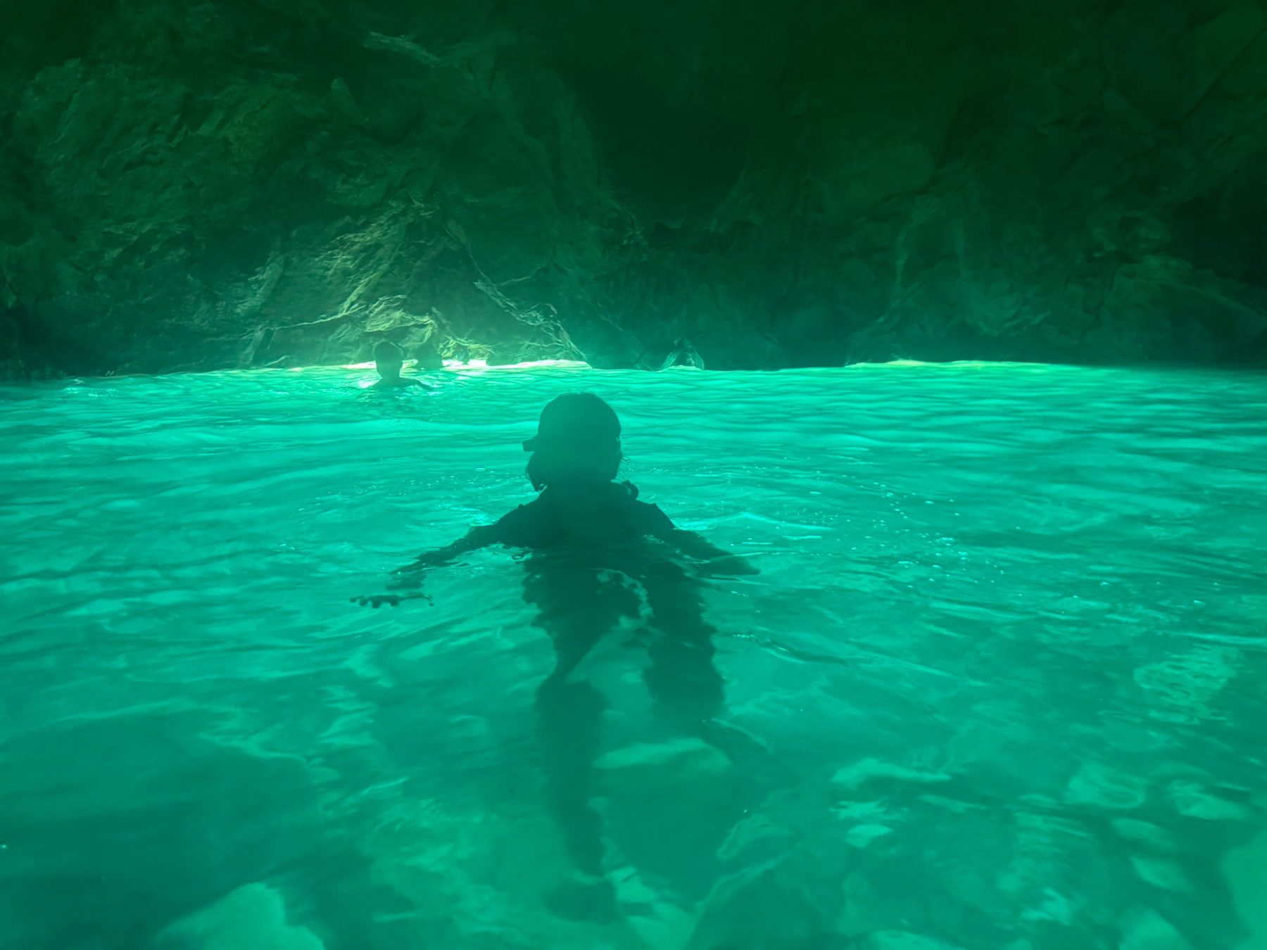
Swimming into Dafina
A 15-metre swim, a small sandy beach inside, then a wide hall of fallen blocks.
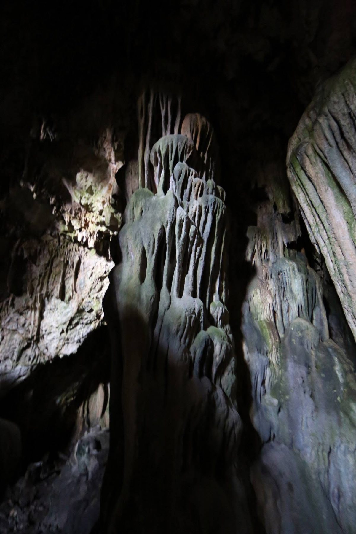
The stalactites of Daçëve
A short cave among fallen blocks, with some very beautiful stalactites and stalagmites.
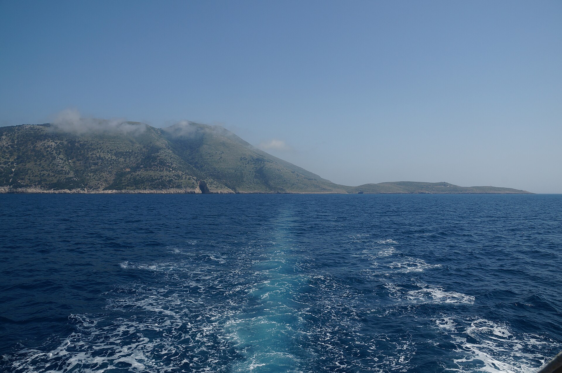
Towards the tunnels of Cape Gjuhëz
Near the cape, the K3 tunnel runs more than 100 metres under the cliff and comes out again in the open sea.
The caves of Karaburun in numbers
-
45 metres
Height of the entrance of Haxhi Ali Cave
-
100+ metres
Length of the K3 tunnel under the cliff
-
250 bats
Counted in Duk Gjoni Cave on 30 April 2016
-
10 °C
Drop in sea temperature within 3 to 5 metres, in July
Where it is
Along the Karaburun Peninsula and the western slope of Rrëza e Kanalit, across the Bay of Vlorë, inside the Karaburun–Sazan Marine Park and the Karaburun Natural Park.
What to bring
- Swimwear: Dafina is entered swimming
- Mask and snorkel: the water is clear and the walls are full of life
- Non-slip shoes: for boats, rocks and the cave floor
- Head torch: Duk Gjoni and Daçëve are dark inside
- Water: the walk up to Duk Gjoni from Bristan Bay is long
- Light jacket: the air in the caves stays cool
- Waterproof phone pouch: for the swim and the boat
Is it worth it?
Yes, if…
you want to see a wild coast from the inside: a sea cave by boat, a swim into Dafina, or a walk up to the chambers of Duk Gjoni.
Maybe not, if…
the sea is rough or you want to arrive by road: the boat caves need calm water, and the mountain caves need a long walk.
Go on a calm day, keep your voice low and your camera flash off near the bats, and never touch the stalactites.
Combine it with
Continue exploring
More places and ideas for your days around Vlorë:
- Karaburun Peninsula
- Inside Haxhi Ali Cave by speed boat
- The big boat to Sazan, with Haxhi Ali Cave from the outside
- Orikum Lagoon and the Byzantine church of Marmiroi
- All attractions around Vlorë
- Where to stay in Vlorë: our complete guide