A limestone canyon 800 metres long opens onto one of the wildest beaches of the Riviera, and the only way in is on foot or by sea.
Gjipe is a beach and a canyon on the Ionian coast between Dhërmi and Vuno, about 51 km and 1 hour 15 minutes from Valza. No road reaches the shore: you park near the Monastery of St Theodore and walk down for 20 to 30 minutes, or arrive by boat. The canyon behind the beach is about 800 metres long and only 10 to 20 metres wide, inside a protected landscape of about 1,200 hectares.
Why is Gjipe still so wild?
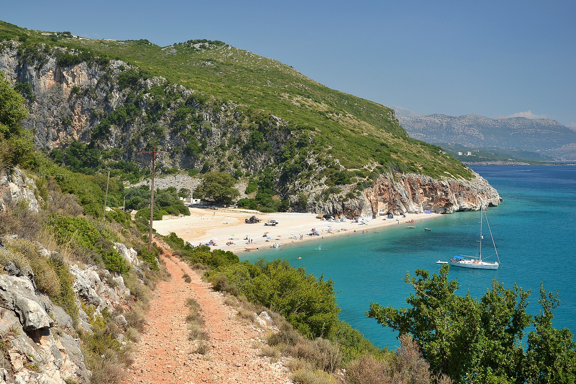
Because there is no road to the sea. Leave the SH8 at the sign for the Monastery of St Theodore, Manastiri i Shën Theodhorit, between Dhërmi and Himarë, and the asphalt soon ends. From the parking area near the monastery a red earth track winds down through olive groves and maquis, and after 20 to 30 minutes the cove opens below you: pale shingle, water that turns from turquoise to deep blue, and two walls of limestone rising on either side.
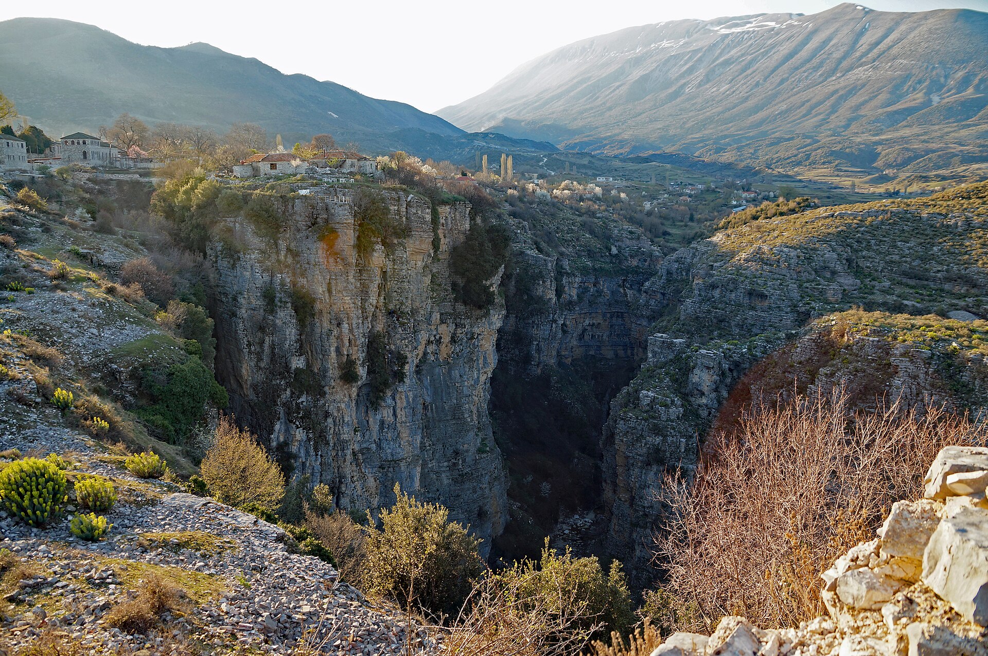
Behind the beach, those walls close into a canyon. It runs inland for about 800 metres and is only 10 to 20 metres wide, cut into the limestone by the stream that flows through it after the rains. Its sides are streaked red and grey, rise straight up for dozens of metres and hide small caves. Walk in a few hundred metres from the beach and the sound of the sea disappears; look up, and there is only a strip of sky.
The protection here is real. Gjipe is part of a protected landscape of about 1,200 hectares, and botanists list it among the Important Plant Areas of the Mediterranean for its rare and endemic plants. In the clear water offshore, scientists have recorded loggerhead turtles and three species of cetaceans: the bottlenose dolphin, the short-beaked common dolphin and Cuvier’s beaked whale, a deep diver rarely seen anywhere.
Go early. In July and August the beach fills by late morning and the walk back up, in the full sun, is the hardest part of the day. Come in June or September, swim first, explore the canyon in the shade of the afternoon, and climb back when the light turns gold.
What you’ll see
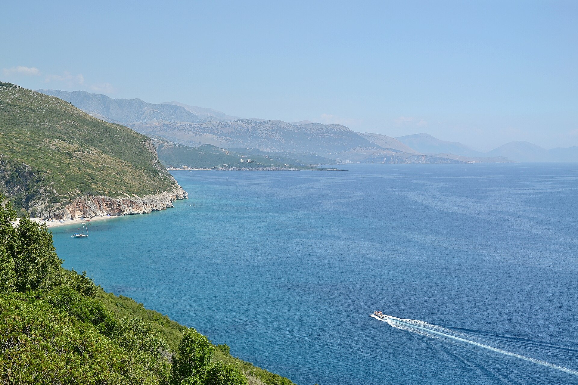
The track to the sea
Twenty to thirty minutes down through olives and maquis, with the Ionian below you.
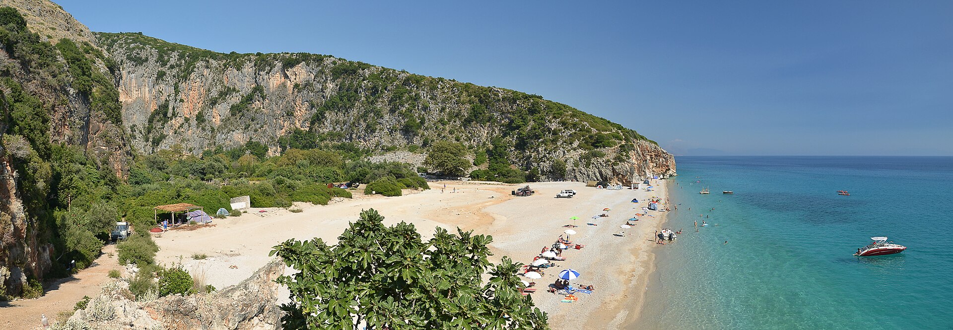
The beach
Pale shingle between two cliffs, and water that turns from turquoise to deep blue.
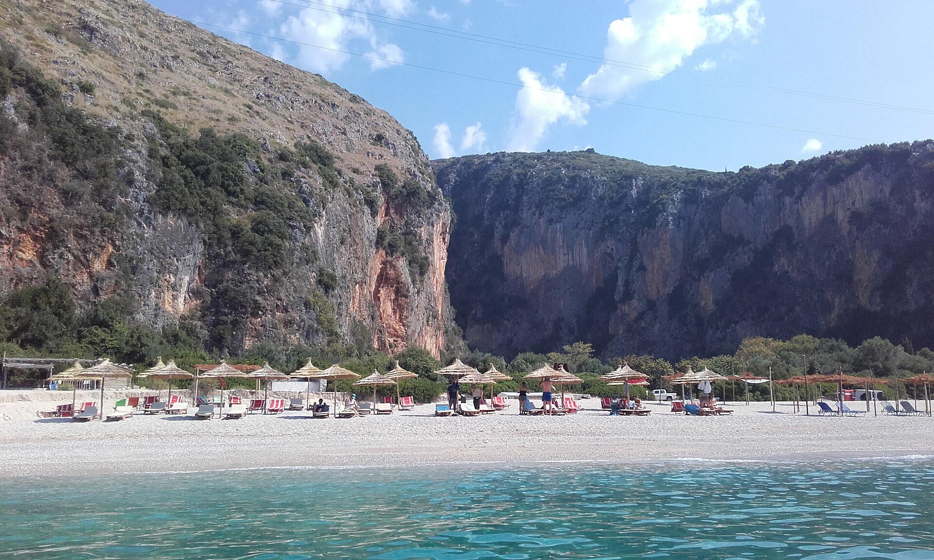
The mouth of the canyon
About 800 metres long and 10 to 20 metres wide, between red and grey walls.
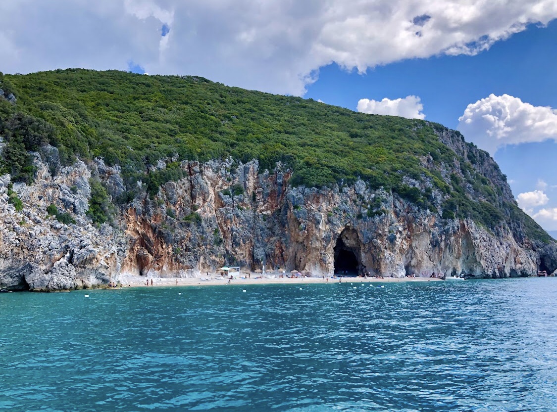
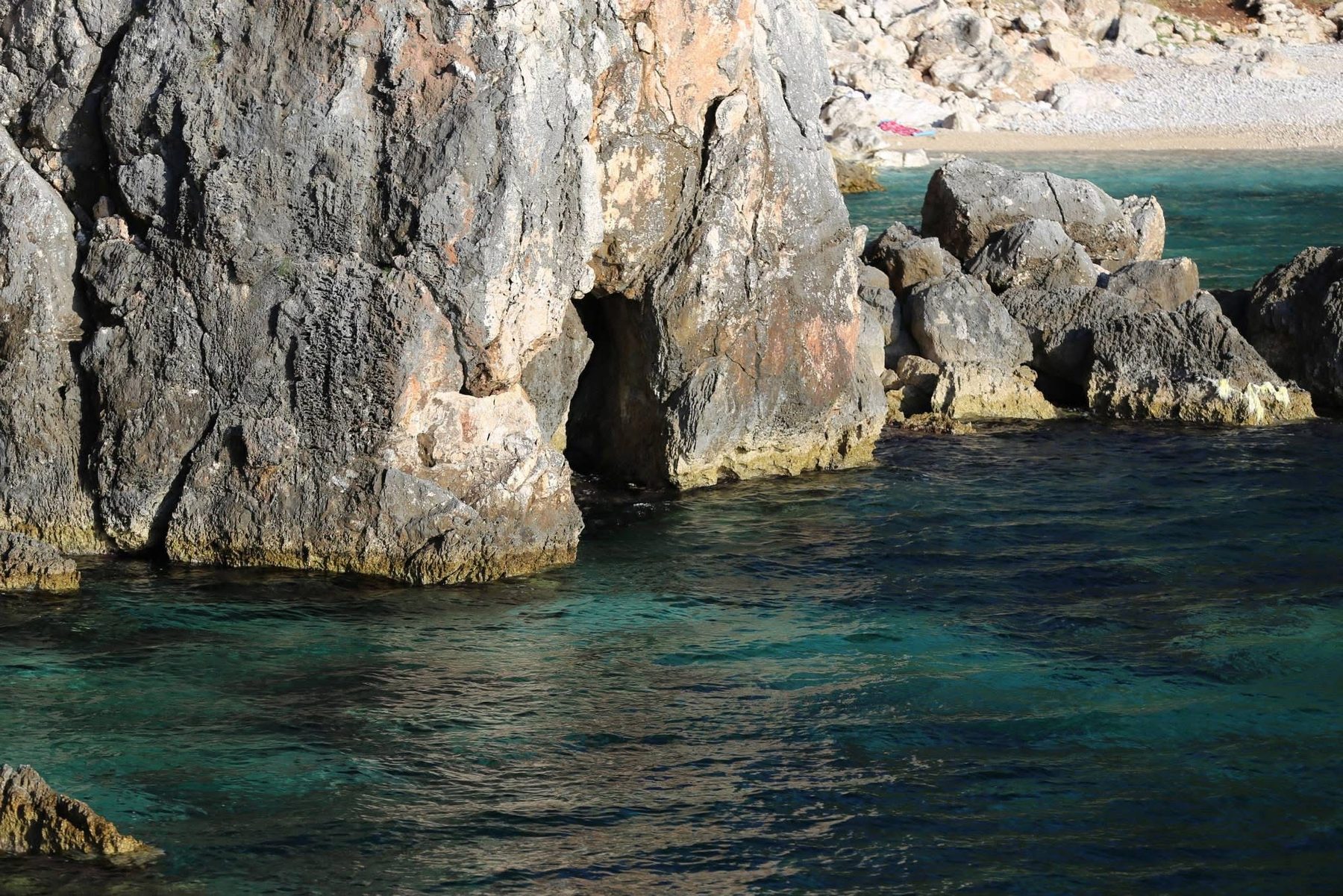
Cliffs and caves
Limestone walls and small caves along the shore, best seen from the water.
Gjipe in numbers
-
800 metres
Length of the canyon behind the beach
-
10–20 metres
Width of the canyon between its walls
-
1,200 hectares
The protected landscape around Gjipe
-
51 km
From Valza to the start of the walk, about 1 hour 15 minutes
Where it is
On the Ionian coast of the Riviera, between Dhërmi and Vuno, in the municipality of Himarë, below the Monastery of St Theodore.
What to bring
- Plenty of water: the climb back up is hot and steep
- Trainers or sandals with grip: a rough track of stones and red earth
- Water shoes: for the shingle and the rocks
- Sun hat and sun cream: little shade on the way down
- Mask and snorkel: the water is very clear
- Snack: services on the beach are basic, if any
- Small torch: for the caves in the canyon walls
Is it worth it?
Yes, if…
you want a beach no car can reach, a canyon to walk into and some of the clearest water of the Riviera, and you do not mind a walk.
Maybe not, if…
you travel with small children or find steep climbs hard in the heat: a beach in Dhërmi or Himarë is easier.
Go early, in June or September, and stay in the canyon’s shade in the afternoon.
Combine it with
Continue exploring
More places and ideas for your days around Vlorë:
- All attractions around Vlorë
- The Riviera from Vlorë in one day: what to keep, what to leave out
- Llogara National Park, on the way to Gjipe
- Where to stay in Vlorë: our complete guide