The roof of the Albanian coast: 2,045 metres, from Mediterranean pines to an alpine summit in a single day.
Mount Çika, Maja e Çikës, is the highest peak of the Ceraunian Mountains at 2,045 metres. The usual ascent starts at the Llogara Pass and climbs roughly a thousand metres, through pine forest and then along an open ridge. Guides call it a fairly challenging day, with about five to six hours up and at least four back.
The moment the pines end
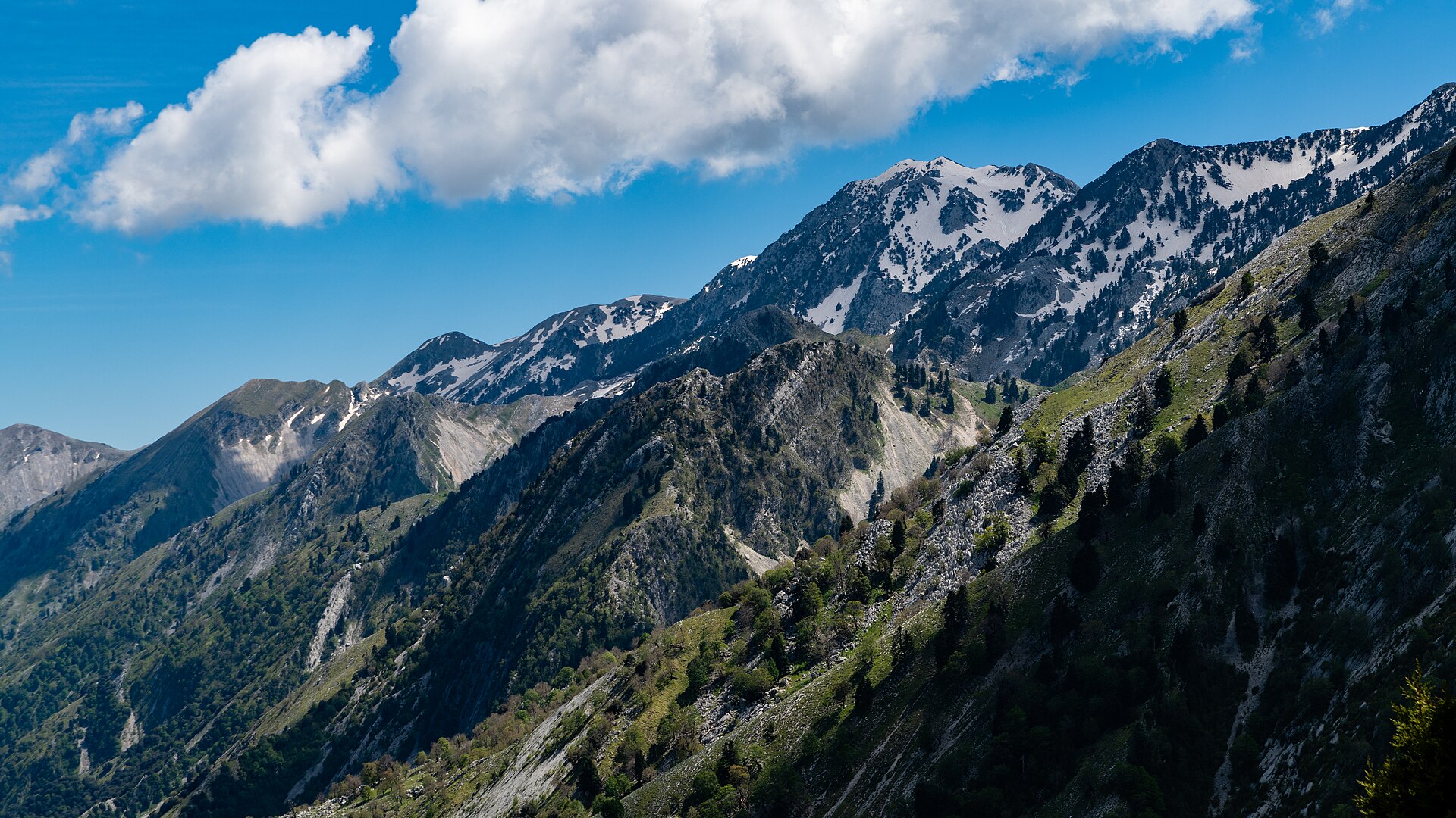
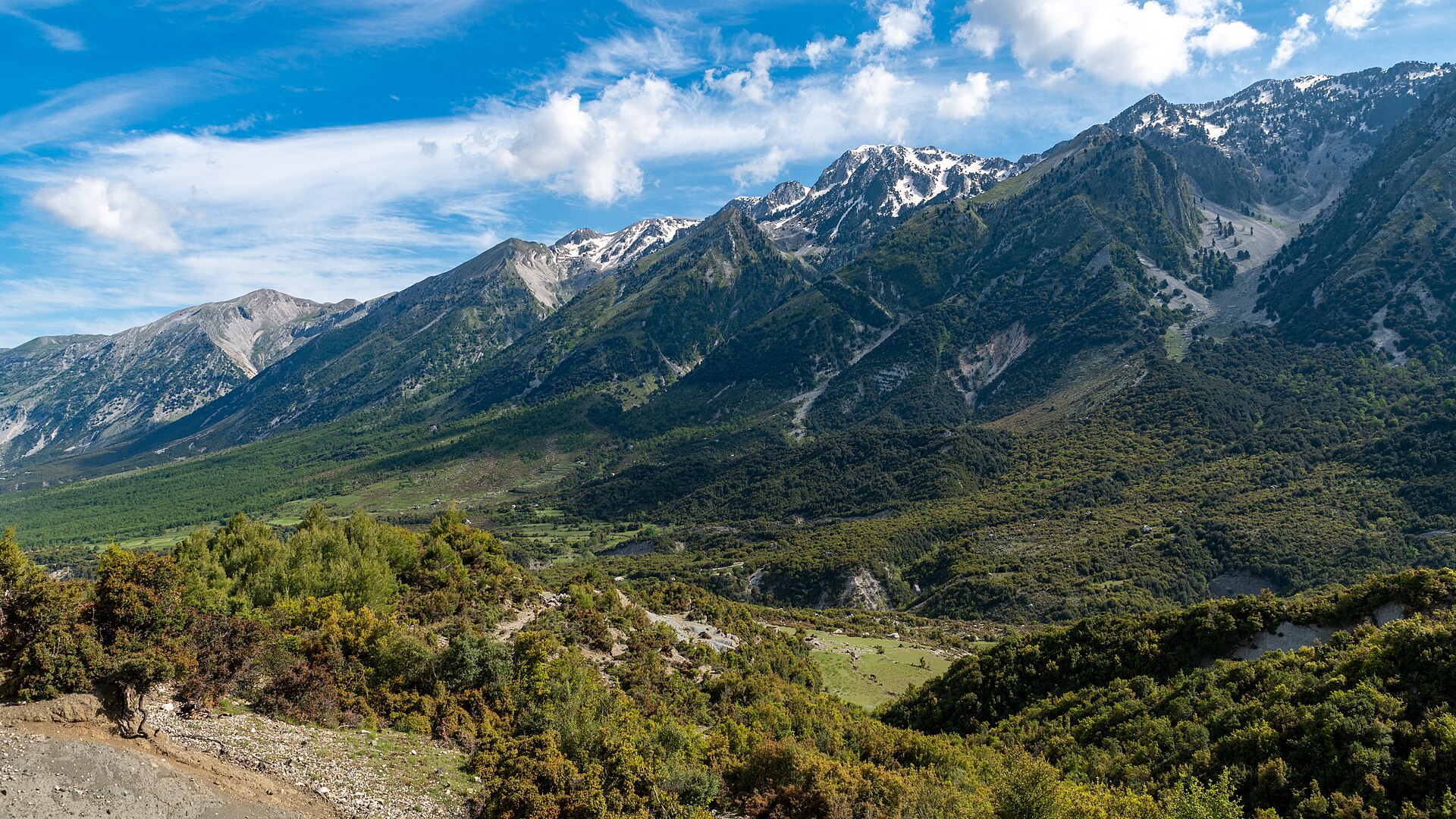
There is a moment on Mount Çika when the pines end and the world opens. Below and behind you are the old, wind-bent trees of Llogara; ahead is a bare ridge running towards the sky, and on either side, far below, the sea. At 2,045 metres Çika, Maja e Çikës, is the highest peak of the Ceraunian Mountains, the range that runs along the Ionian coast from Llogara towards Himarë.
The usual ascent starts at the Llogara Pass, at about 1,040 metres, so the climb is roughly a thousand metres. The path first rises steeply through the forest, then leaves the trees and follows the open ridge to the top. Guides call it a fairly challenging day: about five to six hours up and at least four back.
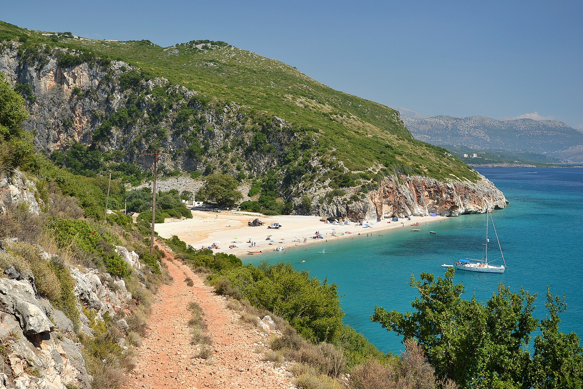
What makes it unforgettable is the change of worlds. You start in a Mediterranean landscape of pines and scrub and finish on a summit with an alpine climate, cooler, windier and quite different from the coast below. From the ridge, it continues towards Gjipe and Himarë, a traverse for those willing to spend a night in a tent.
Start early, carry plenty of water, warm layers and a map or GPS, and turn back in fog, strong wind or snow.
What you’ll see
-
The forest climb
The path first rises steeply through the forest, from the Llogara Pass at about 1,040 metres.
The open ridge
A bare ridge running towards the sky, with the sea far below on either side.
-
Two climates in one day
A Mediterranean landscape of pines and scrub at the start, an alpine climate on the summit: cooler, windier and quite different from the coast.
-
The traverse onward
From the ridge it continues towards Gjipe and Himarë, a traverse for those willing to spend a night in a tent.
The climb in numbers
-
2,045 metres
The summit, the highest peak of the Ceraunian Mountains
-
1,040 metres
About where the usual ascent starts, at the Llogara Pass
-
1,000 metres
Roughly the climb from the pass to the top
-
4 hours
At least this long to come back down, after five to six hours up
Where it is
The usual ascent starts at the Llogara Pass. Çika is the highest peak of the Ceraunian Mountains, the range that runs along the Ionian coast from Llogara towards Himarë.
What to bring
- Hiking boots: about a thousand metres of climbing
- Plenty of water: nine to ten hours out
- Warm layers: the summit is cooler and windier
- Windproof shell: strong wind on the open ridge
- Map or GPS: in case fog closes in
- Sun cream: the bare ridge above the trees
- Snacks: a full day, with 5 to 6 hours up
Is it worth it?
Yes, if…
you are an experienced hiker and want a full day that goes from pines to an alpine summit, with the sea far below on either side of the ridge.
Maybe not, if…
you are not used to long mountain days, or the weather looks unsettled: turn back in fog, strong wind or snow.
Start early and carry plenty of water, warm layers and a map or GPS.
Combine it with
Continue exploring
More places and ideas for your days around Vlorë:
- Llogara National Park, the Llogara Pass and the Flag Pine
- Llogara National Park: where air changes before the view does
- The Julius Caesar Trail
- Mount Qorre: a 2,018-metre Summit above Llogara
- All attractions around Vlorë
- A complete Riviera itinerary from Vlorë to Himarë
- Vlorë in autumn: a 3-day itinerary from Orikum to Labëria
- Where to stay in Vlorë: our complete guide