The “Blind One’s Peak”: a shorter, wilder climb to 2,018 metres above the Riviera.
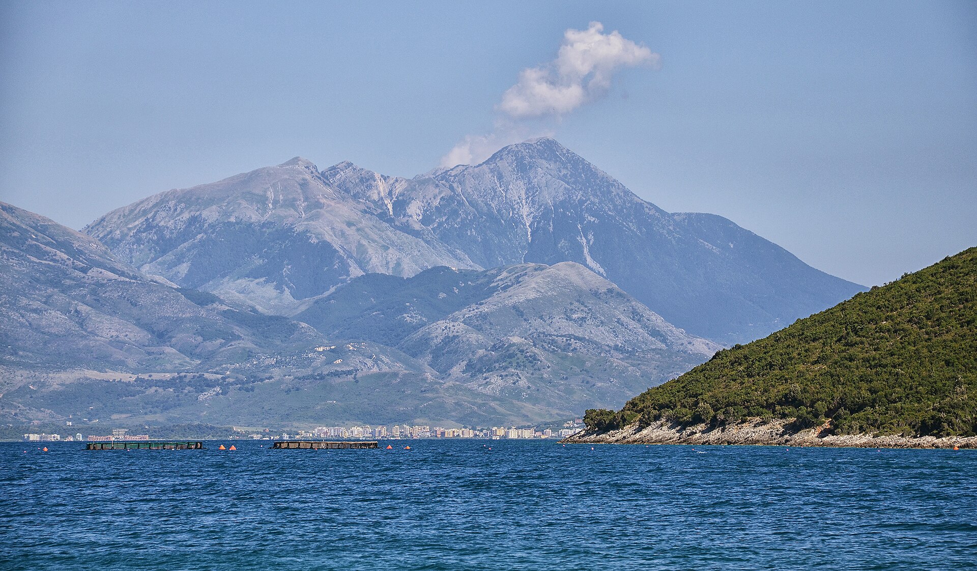
Mount Qorre, Maja e Qorres, rises to 2,018 metres above the Llogara Pass and the coastal villages of Palasë, Dhërmi and Vuno. It is the second-highest summit of the Çika massif and a more direct, slightly wilder alternative to its taller neighbour. The hike is about 8.9 km with roughly 1,015 metres of ascent, around three hours of walking.
Choosing your line to the top
Mount Qorre, Maja e Qorres, rises to 2,018 metres above the Llogara Pass and the coastal villages of Palasë, Dhërmi and Vuno. Its name means “the Blind One’s Peak”, and it is the second-highest summit of the Çika massif: a more direct, slightly wilder alternative to its taller neighbour.
The hike begins at the Llogara Pass and climbs about a thousand metres through the pine forest of the national park. Above the trees you choose your line: straight up the ridge, or a traverse to the Qorre Pass at about 1,850 metres, followed by a final climb of under 200 metres. The whole hike is about 8.9 km with roughly 1,015 metres of ascent, around three hours of walking plus breaks.
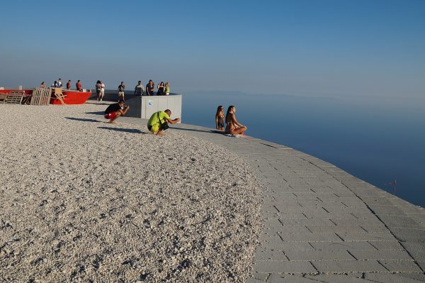
At the top the reward is the whole Riviera at once, and a ridge about 3.5 km long that links Qorre to Çika, for those with the legs to bag both peaks in one day. Hikers report that the path is clear in its first half but fades near the summit, so a GPS track is a good friend if the clouds roll in.
Start early, carry water and warm layers, and turn back if the weather changes.
What you’ll see
-
Through the pine forest
The hike begins at the Llogara Pass and climbs about a thousand metres through the pine forest of the national park.
-
Choose your line
Above the trees, go straight up the ridge or traverse to the Qorre Pass at about 1,850 metres.
-
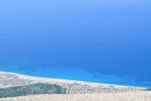
The whole Riviera at once
At the top, the reward is the whole Riviera, with the coastal villages of Palasë, Dhërmi and Vuno below.
-
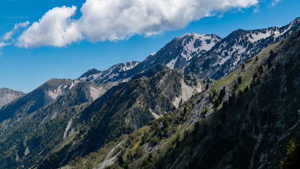
The ridge to Çika
A ridge about 3.5 km long links Qorre to Çika, for those with the legs to bag both peaks in one day.
The hike in numbers
-
2,018 metres
The summit, the second-highest of the Çika massif
-
8.9 kilometres
The whole hike, about three hours of walking plus breaks
-
1,015 metres
Roughly the total ascent, from the Llogara Pass
-
3.5 kilometres
The ridge that links Qorre to Çika
Where it is
Above the Llogara Pass and the coastal villages of Palasë, Dhërmi and Vuno, in the Çika massif.
What to bring
- Offline GPS track: the path fades near the summit
- Power bank: keeps your GPS going if clouds roll in
- Trekking poles: about 1,015 metres of ascent
- Hiking shoes: a pine forest, then open ridge
- Water: about three hours of walking, plus breaks
- Warm layers: for the weather at 2,018 metres
- Camera: the whole Riviera at once from the top
Is it worth it?
Yes, if…
you are a fit hiker who wants the whole Riviera from a summit, and a shorter, wilder climb than its taller neighbour.
Maybe not, if…
you want a clear path all the way: it is clear in the first half but fades near the summit, so a GPS track helps if the clouds roll in.
Start early, carry water and warm layers, and turn back if the weather changes.
Combine it with
Continue exploring
More places and ideas for your days around Vlorë:
- Llogara National Park, the Llogara Pass and the Flag Pine
- Llogara National Park: where air changes before the view does
- The Julius Caesar Trail
- Mount Çika: the Highest Peak of the Albanian Coast
- All attractions around Vlorë
- A complete Riviera itinerary from Vlorë to Himarë
- Vlorë in autumn: a 3-day itinerary from Orikum to Labëria
- Where to stay in Vlorë: our complete guide