A fishing harbour at the tip of the bay, with the walls of an ancient port town on the hill and under the sea.
Triport is the cape that closes the Bay of Vlorë to the north, about 5 km from the city, and a working fishing harbour. On the low hill above it, called Pllakë, archaeologists have excavated an Illyrian port town that lived from the 6th century BC to the 1st–2nd century AD, defended by three successive walls. Part of its lower town now lies under the sea. Allow an hour.
What lies beneath the fishing boats of Triport?
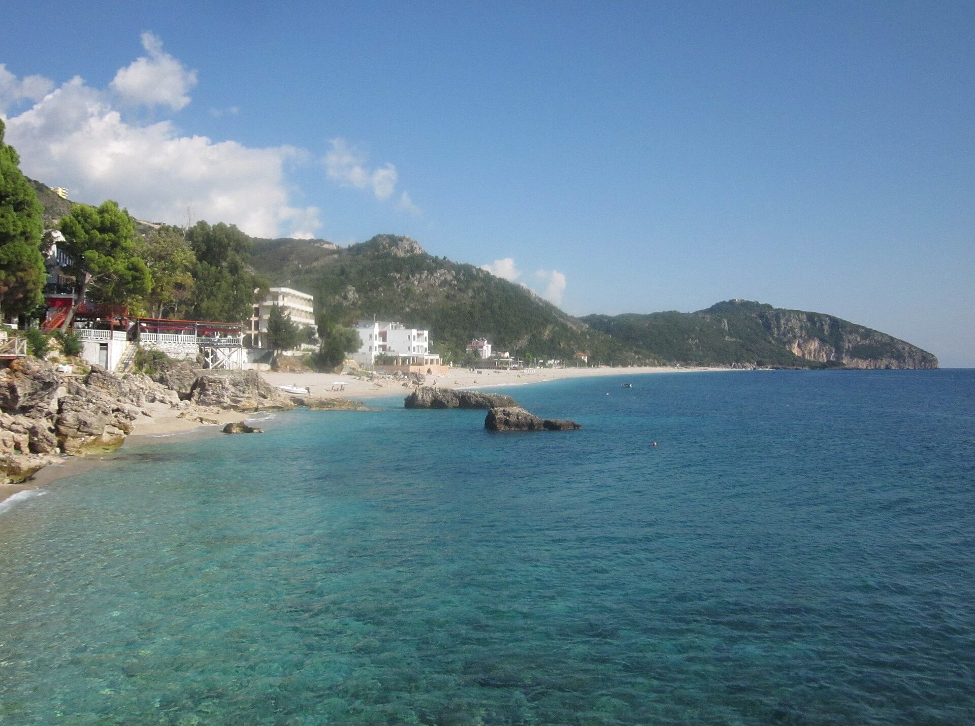
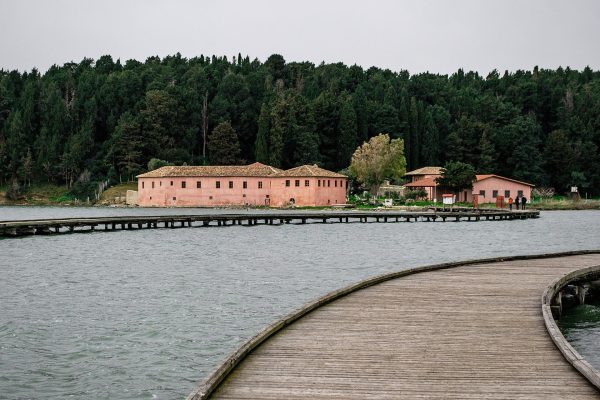
Triport is the cape that closes the Bay of Vlorë to the north, about 5 km from the city, and its harbour is crowded with fishing boats. The reason is as old as the sea: on the eastern side of the hill a sheltered cove makes a natural harbour, while the western slopes fall steeply into the open water.
The hill itself, no higher than 85 metres, is where the story begins. The local people called it Pllakë, and the archaeologist Vasil Bereti excavated it in 1975, 1976, 1984 and 1986, the first season together with Perlat Kulla. The oldest finds are sherds of grey, brown and ochre pottery from the Late Bronze Age. From the middle of the 7th century BC Corinthian amphorae and fine cups arrived by sea, and by the 6th century BC a small walled settlement stood on the hilltop.
Its greatest moment came at the end of the 4th and the start of the 3rd century BC, when the town moved down to the flat ground by the shore, next to the harbour. Stamped roof tiles name its officials, one of them a prytanis, the chief magistrate, and 39 bronze coins came from Apollonia, Dyrrachium, Amantia, Orikum and Epirus. Researchers have identified the town with Aulon, the harbour that gave Vlorë its name, with Thronion, the town of the Amantians that Apollonia took around the middle of the 5th century BC, or with Daulia; the question is still open.
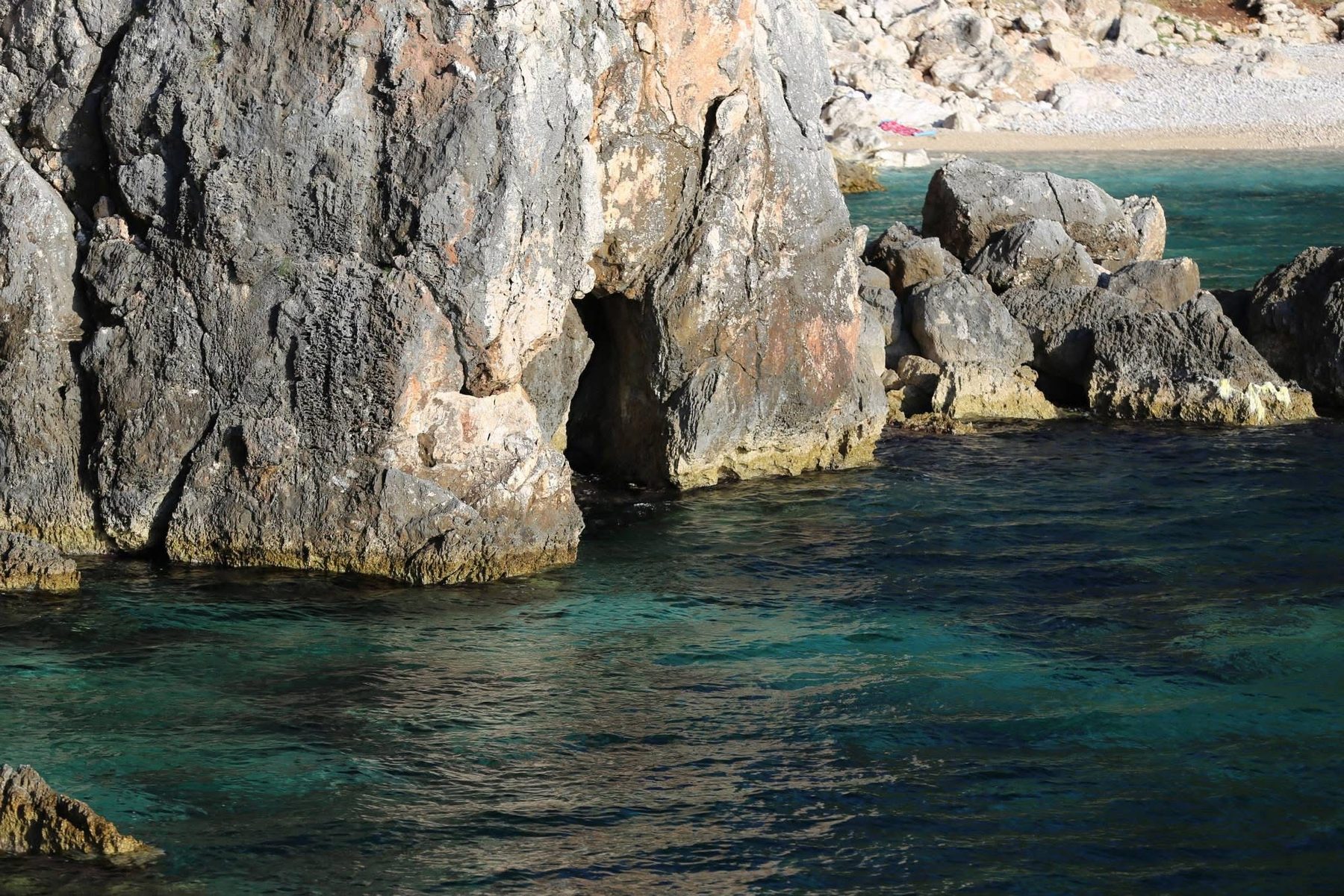
Then comes the part that makes you look at the water differently. In 2016 a team of Albanian and British underwater archaeologists, led by Neritan Ceka and Peter Campbell, mapped about eight more acres of submerged structures, and concluded that the walls once enclosed the lower town, which the rising sea later swallowed.
Come for the boats and the evening light, and think of the town beneath them.
The walls of Triport
Triport was fortified three times, and each wall tells a chapter of its life. They are what make this small cape one of the most interesting ancient sites on the Bay of Vlorë.
- The first wall, 6th century BC. On the top of the hill, a wall 2 metres wide of medium limestone blocks bound with mud enclosed a settlement of less than one hectare. Excavators uncovered 24.5 metres of it, standing up to 1.10 metres high.
- The second wall, 5th century BC. A new enclosure took in a larger area, built of sandstone blocks with roughly squared faces and a fill of smaller stones. It is 2.30 metres wide and up to 1.5 metres high, like the 5th-century walls of Apollonia and Mashkjezë.
- The wall of the lower town, late 4th to early 3rd century BC. At the foot of the hill one stretch of wall runs about 580 metres east, parallel to the shore. It is 2.80 to 3 metres thick, built of blocks with well-dressed rectangular faces and drafted edges, with square towers of 6.75 × 8.1 metres and a gap that may have been a gate towards the south. For years these walls in the sea were taken for a road or a harbour quay; the towers show that they defended the new centre of the town.
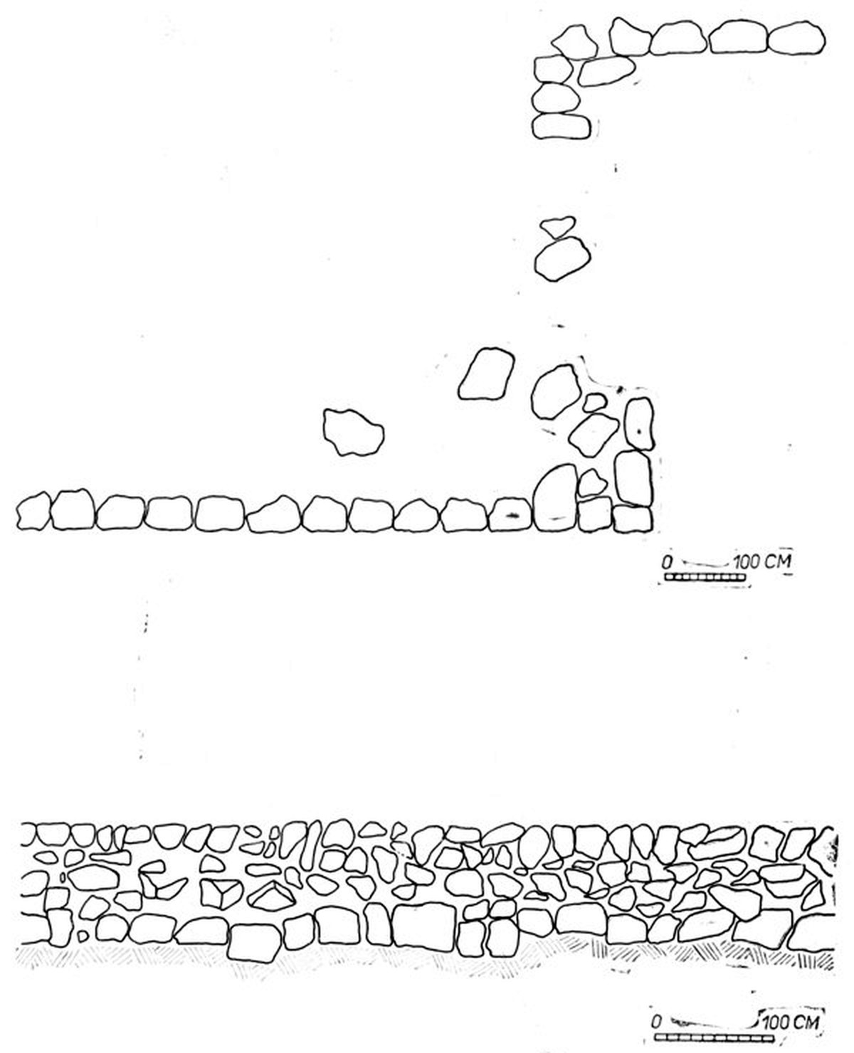
At the same time a wall was built on the northern side of the rocky ridge that shelters the harbour, to protect the anchorage and the landing stage. Divers found large rectangular blocks there, among fragments of amphorae from the 3rd to the 1st century BC. On the shore Bereti also traced a stretch of wall 150 metres long and 3.5 to 4 metres wide, faced with large blocks up to 76 cm wide and filled with smaller stones, which he dated to the 3rd century BC.
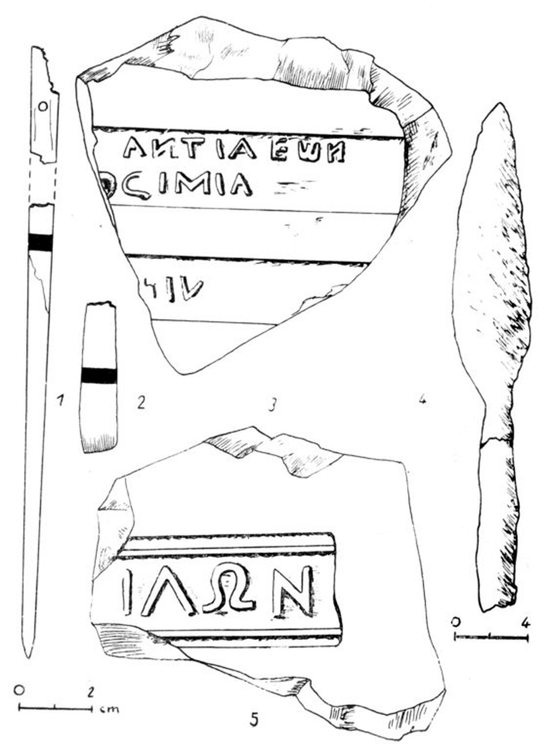
The stamped tiles are the voice of the town. One reads ΦΙΛΩΝ, a stamp known from Apollonia; another names an official, [Ε]ΠΙ ΑΓΑΚΛΙΔ[ΑΣ], “in the time of Agaklidas”; a third carries the letters …ΑΝΤΙΑΕΩΝ, which point to the Amantians, the people of the hill city of Amantia inland. Together with the coins, they show a town with its own magistrates and close ties to the Illyrian cities of the region.
What you’ll see
-
The fishing harbour
A sheltered cove on the eastern side of the cape, crowded with fishing boats, as it has been since antiquity.
-
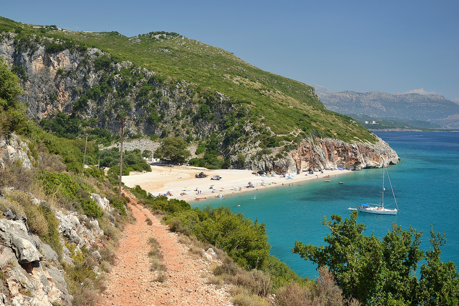
The hill of Pllakë
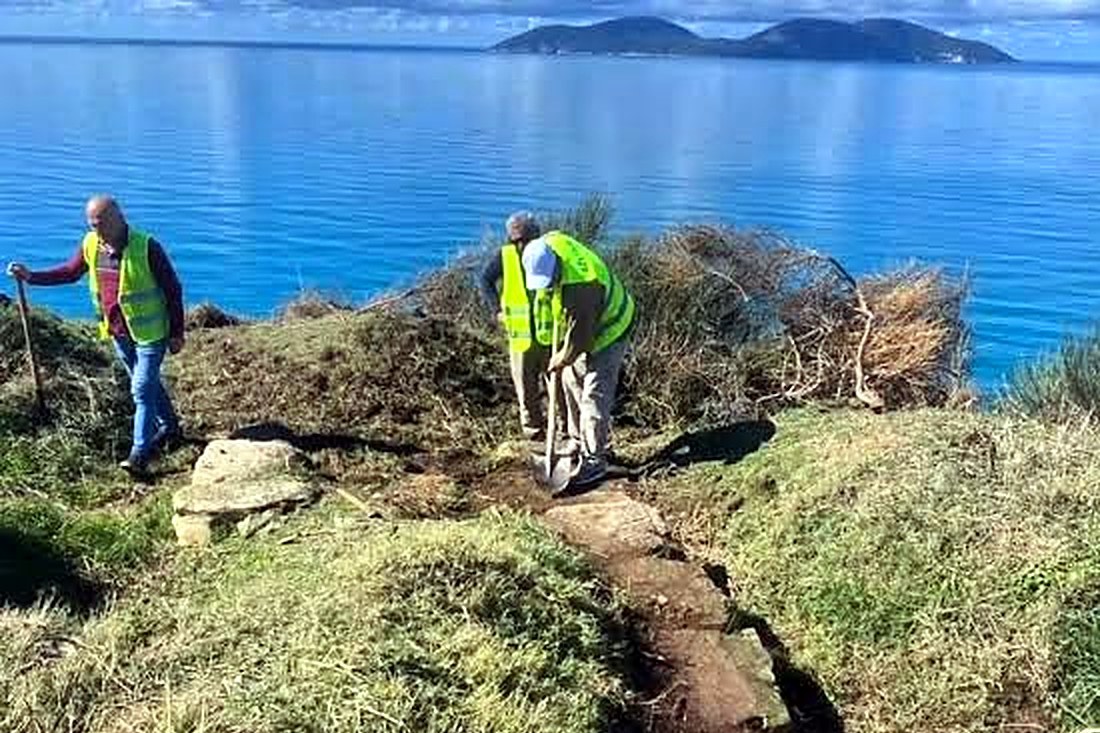
A low hill, no higher than 85 metres, with the walls of the first settlement and wide views over the bay to Sazan Island.
-
The walls in the sea
The wall of the lower town, 2.80 to 3 metres thick, runs along the shore and into the water.
-
The bay from the cape
The whole Bay of Vlorë at your feet, from Sazan Island and Karaburun to the city.
Triport through time
- Late Bronze Age
The first traces of life on the hill: grey, brown and ochre pottery like that of Margëlliç and Badhra.
- Mid-7th century BC
Corinthian amphorae and cups arrive by sea: Triport becomes a landing place.
- 6th century BC
The first wall, 2 metres wide, encloses a settlement of less than one hectare on the hilltop.
- 5th century BC
A second wall, 2.30 metres wide, encloses a larger area. Around the middle of the century Apollonia takes Thronion, which some researchers place at Triport.
- Late 4th to early 3rd century BC
The town moves down to the shore: a new wall about 580 metres long, with towers, and a protected harbour.
- 1st–2nd century AD
Life at Triport comes to an end; part of the lower town is later covered by the sea.
Triport in numbers
-
580 metres
Length of the wall of the lower town along the shore
-
3 metres
Thickness of the lower town’s wall (2.80 to 3 m)
-
39 coins
Bronze coins of Apollonia, Dyrrachium, Amantia, Orikum and Epirus
-
8 acres
Of submerged structures mapped in 2016
Where it is
On the cape that closes the Bay of Vlorë to the north, about 5 km from the city, along the northern shore of the bay. Across the water lie Sazan Island and the Karaburun Peninsula; inland, the hill city of Amantia, whose people may have used Triport as their port.
What to bring
- Camera: fishing boats and the bay in the evening light
- Closed shoes: for the harbour and the grassy hill
- Light jacket: the cape is open to the wind
- Sunglasses: for the light off the sea
- Water: there is little shade on the hill
Is it worth it?
Yes, if…
you like working harbours, wide views over the bay, and the idea of an ancient port town under your feet and under the water.
Maybe not, if…
you want a ticketed archaeological park: the walls are low, partly hidden by grass and sand or under the sea, and there are no visitor facilities.
Free to visit. Late afternoon is best, for the light.
Combine it with
Continue exploring
More places and ideas for your days around Vlorë:
- The shipwrecks of the Bay of Vlorë
- All attractions around Vlorë
- Vlorë in autumn: a 3-day itinerary from Orikum to Labëria
- Vlorë: the city, its history and where it is
- Where to stay in Vlorë: our complete guide