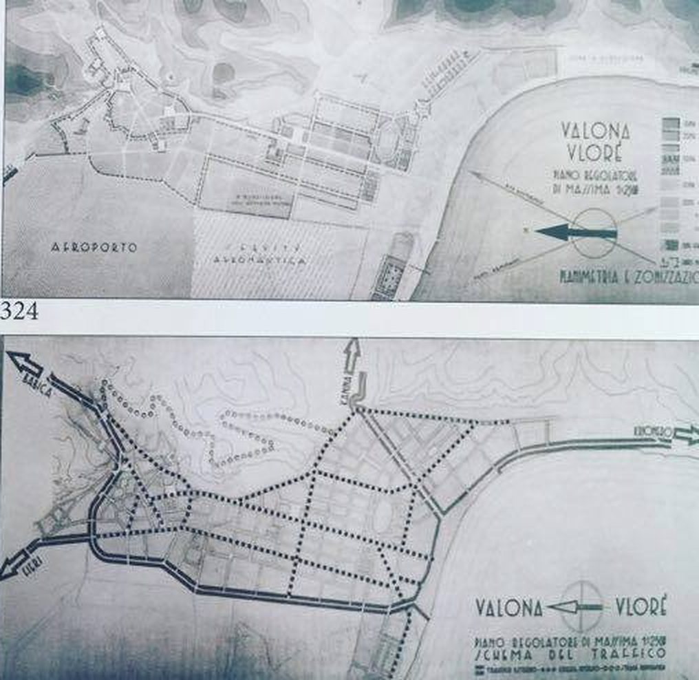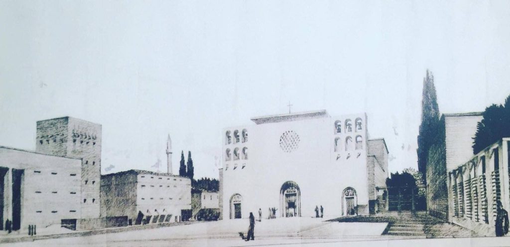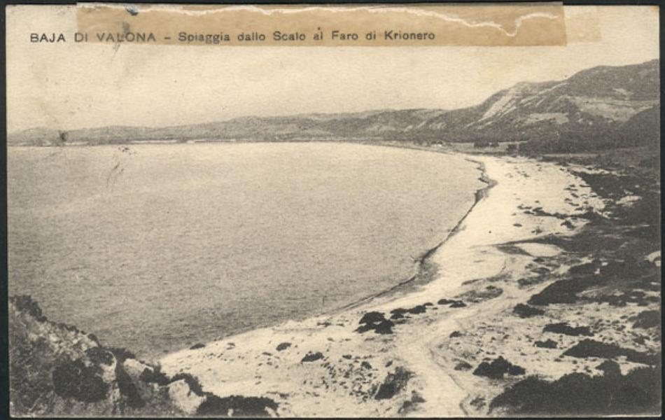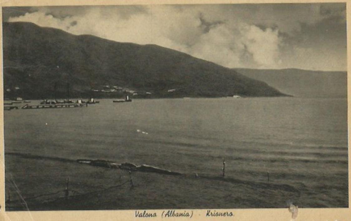
Yes, Italy once drew a completely new Vlorë, and almost none of it was built. In 1939–40 the architect Gherardo Bosio and his office planned a cathedral square, a palace for the armed forces, an airport and a new town reaching down to the sea. On the plan, the coast road runs off the page towards one word, Krionero: today’s Uji i Ftohtë, where Valza Boutique Hotel stands.
On 31 May 1940 a photographer of the Istituto LUCE in Rome set up his camera in front of a few large sheets of paper. They showed a town that did not exist yet: wide new streets, a square with a bell tower, a quarter for airmen, a road along the sea. The town was Vlorë. Within a year the architect who drew it was dead, Italy was losing a war it had started from Albanian soil, and the sheets went into a drawer.
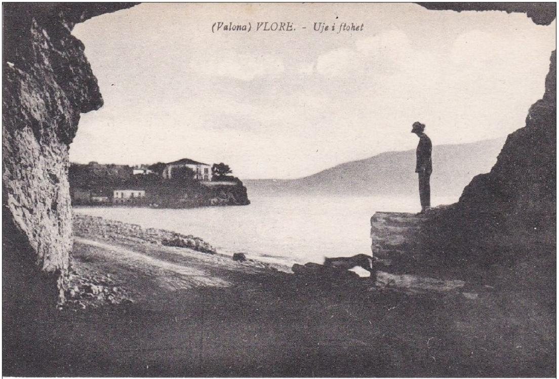
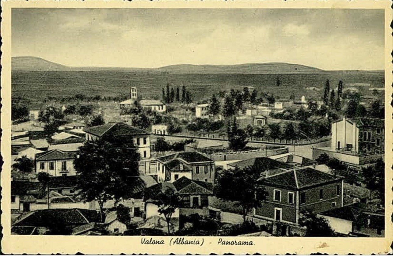
Most visitors walk through Vlorë without knowing any of this. Yet the plan explains a great deal of what you see: why the old town sits so far from the sea, why a long straight road runs down to the port, why an Italian palazzo is the town hall, and why, in old postcards, the place where our hotel stands has a different name. This is the story of the Vlorë that Italy wanted, the Vlorë it actually left behind, and the walk you can still take from one to the other.
The lost plan for Vlora at a glance
- What it is
- The town plan (piano regolatore) for Vlorë drawn in 1939–40 by the office of Gherardo Bosio, head of Italian town planning in Albania. It was never carried out.
- Where
- The whole town: the old centre, the plain down to the port of Skelë, and the coast road to Krionero, today Uji i Ftohtë.
- Time needed
- About 1 h 45 on foot for the 7.5 km walk from Flag Square to Valza Boutique Hotel, or a relaxed morning with stops.
- Best time
- Spring and autumn mornings, when the light is soft on the old façades and the Lungomare is cool.
- Cost
- Free: the squares, streets and seafront are open to everyone.
- Good for
- Anyone who likes architecture, old maps and old postcards, and wants to see Vlorë with different eyes.
Seven things most visitors never hear
Before the full story, here are the facts that surprise our guests most when we tell them at the reception desk.
The plan ends at our door. On the traffic sheet of the 1940 plan, the coast road leaves the drawing with an arrow and a single word: Krionero.
Krionero is Greek for cold water. In those years the whole quarter was called Krionero, the Greek name for the cold springs that rise here. After the liberation of 1944 only the Albanian name was used: Uji i Ftohtë, which means exactly the same thing.
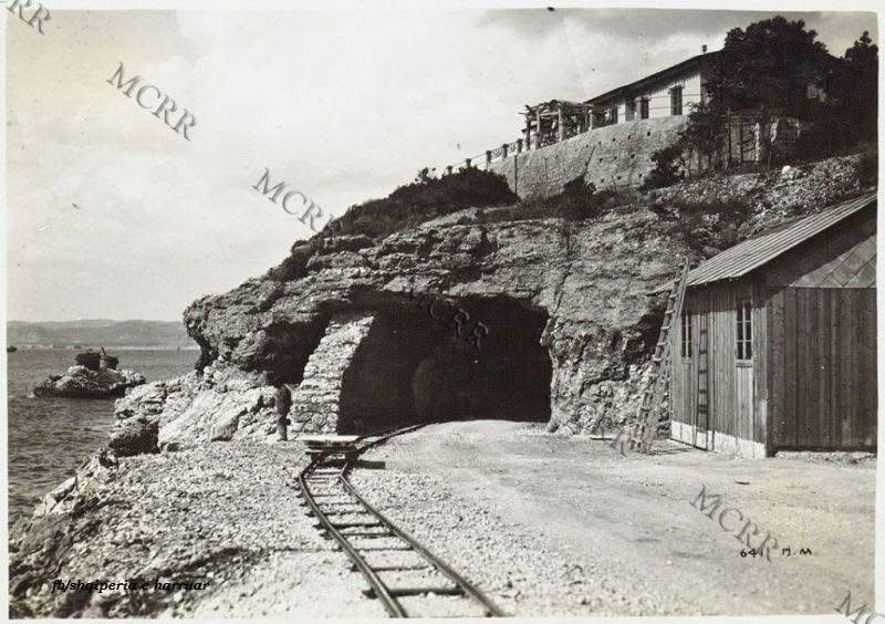
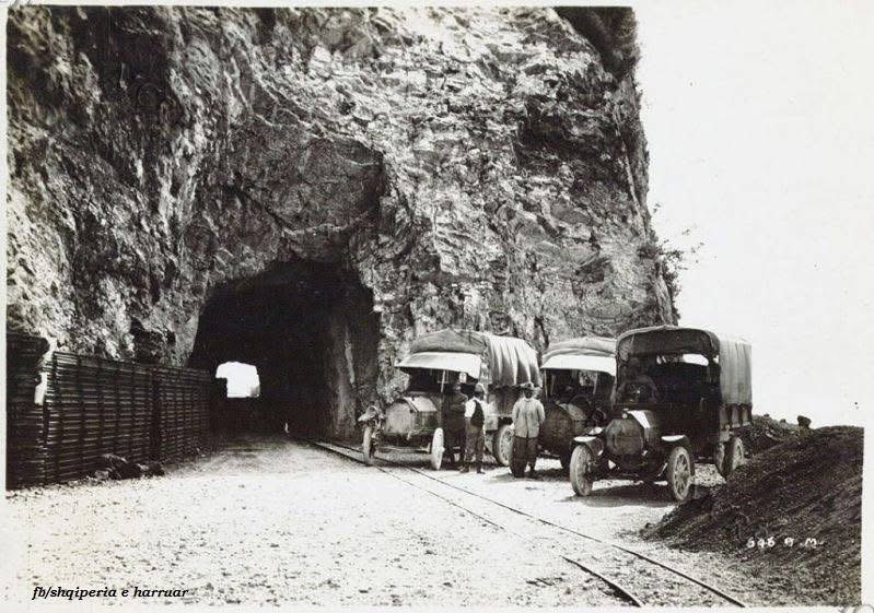
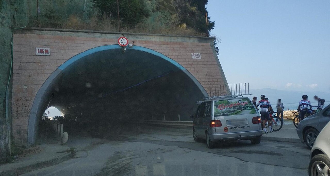
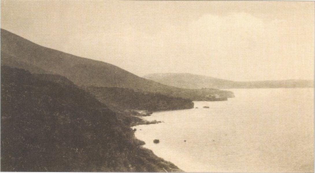
The tunnel near our hotel was cut by the Italian army. Photographs from the First World War show soldiers, a narrow-gauge railway and military lorries at the mouth of the rock tunnel of Uji i Ftohtë.
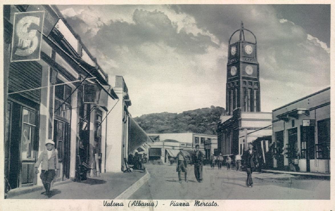
Vlorë was meant to have a cathedral square. Bosio drew it with arcades, a bell tower and a long colonnaded building. It was never built.
The plan included an airport. The zoning sheet marks an Aeroporto and a whole aviation quarter at the edge of the town.
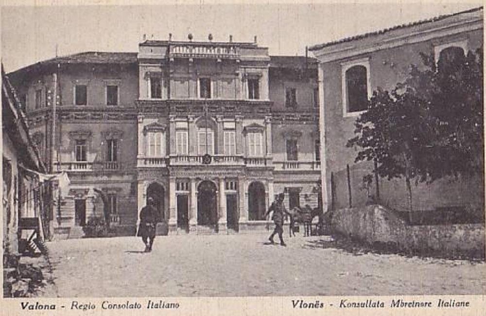
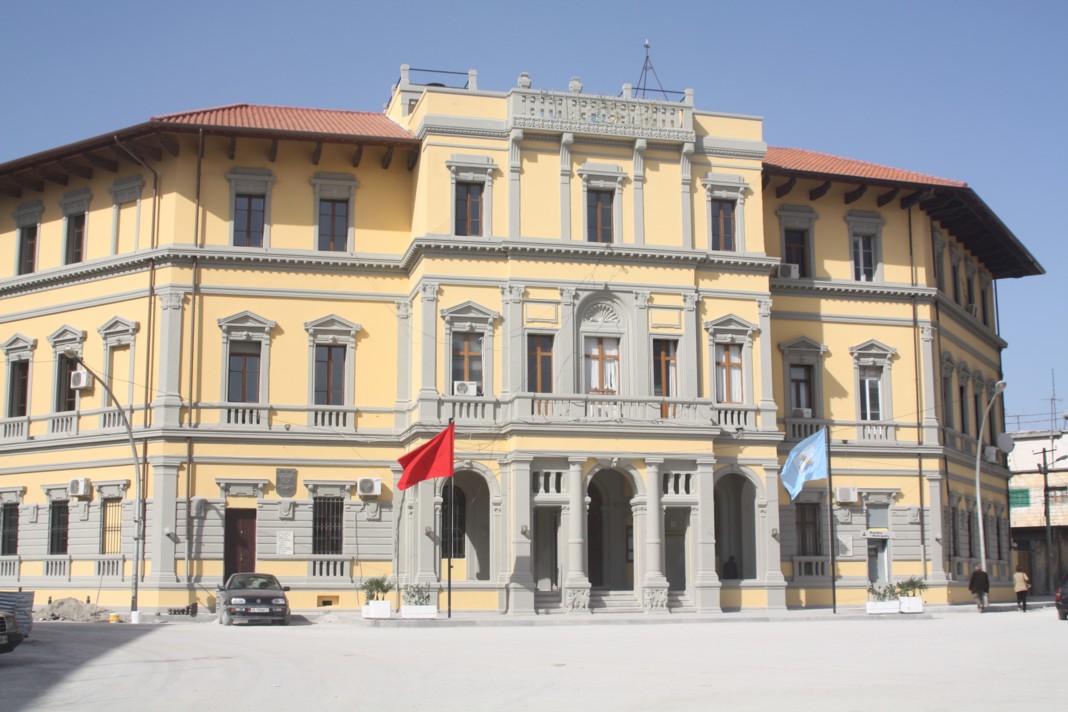
The town hall of Vlorë was the Italian consulate. The elegant palazzo on the main square was built as the Royal Italian Consulate.
Mussolini’s daughter was shipwrecked in the bay. In March 1941 Edda Ciano was serving as a Red Cross nurse on the hospital ship Po when British aircraft sank it at Vlorë. She survived.
Two towns and a road: Vlora before the Italians
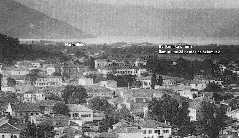
To understand the plan, you first have to understand the odd shape of old Vlorë. For centuries it was not one town but two. The town itself, with its bazaar, mosques and houses, sat inland on the lower slopes of the hills, safe from the sea, from malaria and from pirates. The port, Skelë, lay about two kilometres away on the shore, a small cluster of customs houses, warehouses and quays. Between them stretched a flat, empty plain of olive groves and fields.
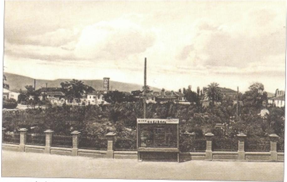
A single road joined the two. It is the road you still drive today from the centre down to the port, and in the old photographs it looks almost unreal: a straight line of trees running across open country to the bay, with hardly a building on either side.
-
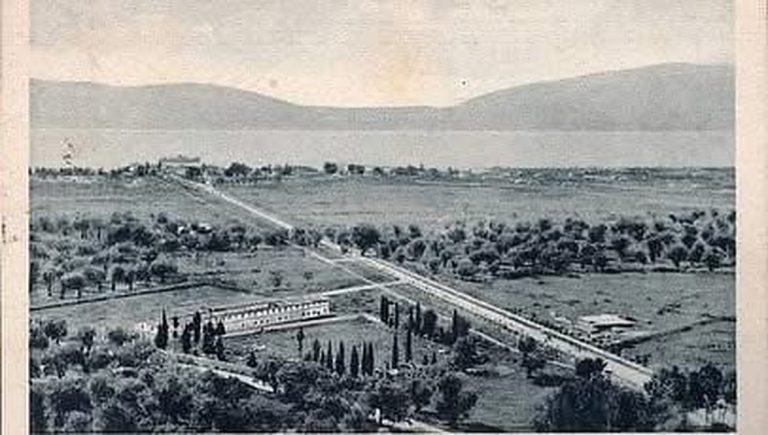
The road from the town to the sea · old postcard -
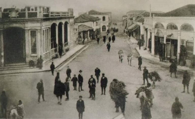
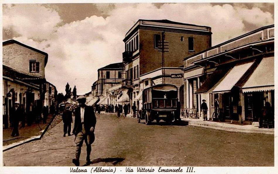
The main street of old Vlorë · old photograph
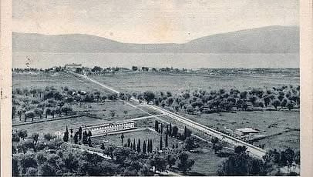
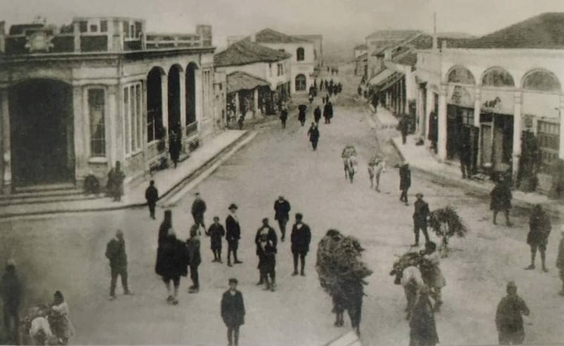
That empty plain is the key to everything that follows. Every planner who came to Vlorë in the twentieth century looked at it and saw the same opportunity: to join the town to its sea, and to turn an inland market town into a port city.
The town itself was lively but small. Its main street was lined with low arcaded shops, and on market days the road filled with people, mules and loads of firewood brought down from the villages.
In November 1912 this small town became the birthplace of the Albanian state, when Ismail Qemali declared independence here. Two years later, the first Italian soldiers arrived.
1914–1920: how did the Italian army change Vlora?
It turned the bay into a fortress, and built the first modern roads around it. The reason was geography. The Bay of Vlora faces the Strait of Otranto, the narrow gate of the Adriatic, and Italy is only about 70 km away across the water. Whoever held the bay could close the Adriatic.
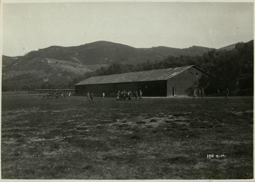
Italian troops occupied Sazan Island in October 1914 and landed in Vlorë at the end of December 1914. For the rest of the First World War the town was the heart of an Italian entrenched camp, the Campo trincerato di Valona. The army needed to move men, guns and supplies quickly, so it built what the town had never had: proper roads, quays, barracks, depots, a military airfield, and narrow-gauge railways that carried stone and supplies along the coast.